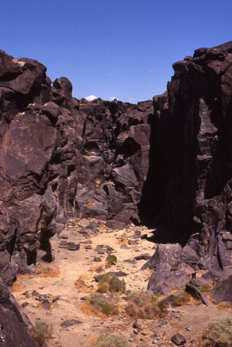
 Owens River Sculpted Rocks
November 21, 2010 - Inyo County, California -
During the Ice Age, the Owens River flowed farther south than it does now, forming a system of vast lakes at times, and in combination with volcanic activity, resulted in the strange rock formations at Fossil Falls.
Water-sculpted basalt can be seen, where from 20,000 to 15,000 years ago the river flowed through this desert valley, among lava flows and cinder cones next to the Coso Range, into the Mojave Desert basins to the south.
Located in the far southern Owens Valley north of Ridgecrest and south of Lone Pine, this area has interesting sites to explore, including petroglyphs.
See the Ridgecrest Bureau of Land Management page.
^Ancient Fossil Falls, now dry, but during the Ice Age a waterfall of the Owens River.
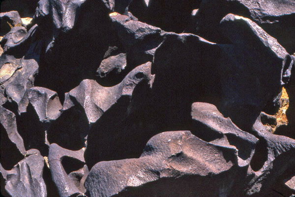
^Sculpted basalt.
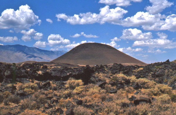
^Red Hill, a cinder cone and old lava flows, part of the Coso Volcanic Field. It is 3,952 feet in elevation.
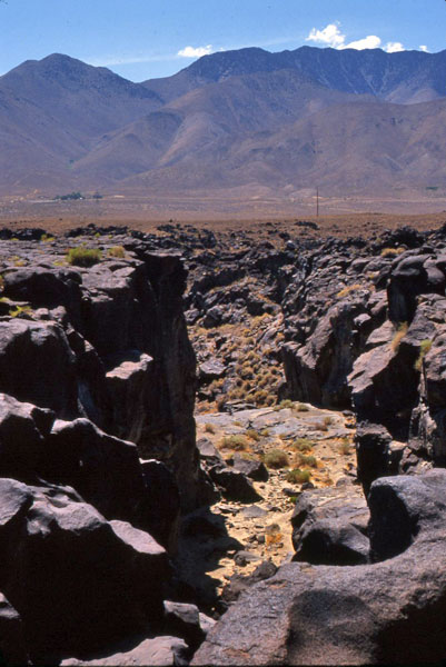
^Fossil Falls.
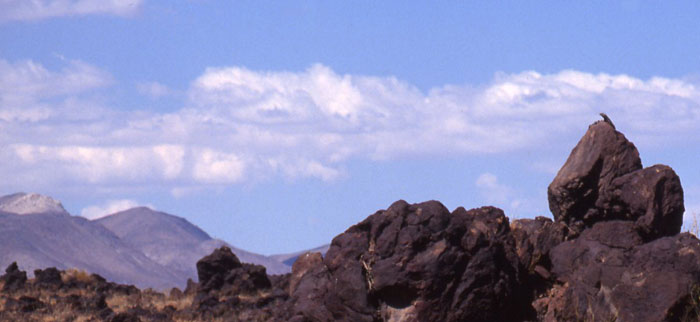
^A Chuckwalla (Sauromalus obesus) surveys its realm of baslat rock piles.
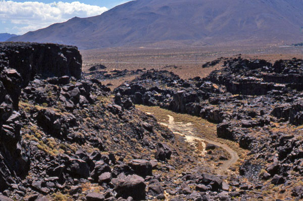
^Basalt gorge and terraces.
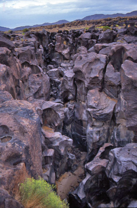
^Bizarre water-shaped basalt rocks at Fossil Falls.
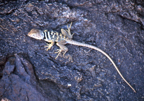
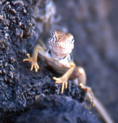
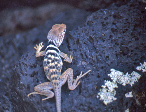
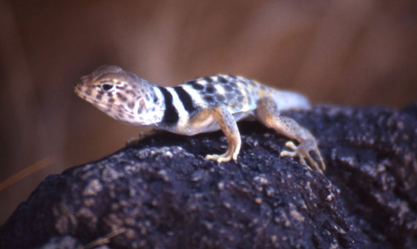
^Rock predators dwell here: a Desert collared lizard (Crotaphytus bicinctores) juvenile clings to the basalt. Like miniature Tyrannosaurs, these agile lizards chase after smaller lizards and eat them with large jaws and sharp teeth.
Little Lake Wind Project
PUBLIC HEARING NOTICE
NOTICE IS HEREBY GIVEN the Inyo County Planning Commission will hold a
public hearing on Wednesday, December 1, 2010, at 10:00 a.m. in the Board of
Supervisors Room, County Administrative Center, Independence, to consider
the following project:
Little Lake North & South Wind Projects:
. CUP #2010-05 & Height Variance #2010-01/RES America Developments ("North"
project)
. CUP #2010-06 & Height Variance #2010-02/RES America Developments ("South"
project)
The project will consist of up to eight temporary meteorological towers
placed on Bureau of Land Management (BLM) lands for a period not to exceed
three years. The five "north" project tower sites are over approximately
14,209 acres (APNs 037-020-17, 037-030-05, 037-270-01 & 037-070-09), with
the northern-most of the five towers located near the southern end of Haiwee
Reservoir, and the southern-most of the five towers located near Coso
Junction. The three "south" project tower sites are over approximately
4,500 acres (APNS 037-150-03, 037-202-01 & 037-160-48) near the Pearsonville
area at the southern border of Inyo County. The eight proposed towers will
range from ½ mile to 2 miles on either side of U.S. Highway 395. The towers
consist of 8-inch diameter tubing, are approximately 197-feet high, and will
be secured with a temporary portable base and guy wires.
The towers will be used only to evaluate the potential of the sites to
support a wind energy project. If any of the sites prove viable, RES
Americas Development Inc. could then apply to BLM for long-term leases for
the development of commercial wind energy. Such a potential commercial
project would happen in the future, as a separate project, and would be
evaluated accordingly at a future time.
Project materials are posted on the Planning Department website at
www.inyoplanning.org, under "Current Projects." Anyone wishing to comment
on this application should appear at the public hearing or submit written
correspondence to the Inyo County Planning Department (via email at
inyoplanning@inyocounty.us; via fax at 760-878-0382; via mail at P.O. Drawer
L, Independence, CA 93526).
Planning Department
168 North Edwards Street
Post Office Drawer L
Independence, California 93526
(760) 878-0263
FAX: (760) 878-0382
E-Mail: inyoplanning@Inyocounty.us
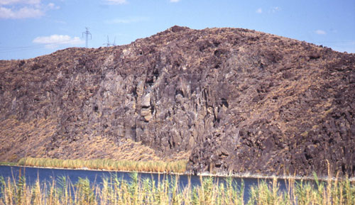
^Little Lake, a small spring-fed wetland among the lava cliffs, lies just to the south of Fossil Falls. This would be a bad choice of wind farm location due to the large number of waterfowl that reside here and migrate through.
See California Watchable Wildlife for visiting information.
HOME.....Owens Lake
