Photos we took from the Ivanpah solar project site and vicinity before the start of construction (2008-2010), paired with a photo of grading on the same area of desert in November 2010. The darker Metamorphic Hill lies in the middle ground and Stateline Hills in the background, along with an existing transmission line cutting through the middle of the project can be seen.
Before
^Spring with flowering Creosote (Larrea tridentata) and Bursage (Ambrosia dumosa). January 2008.
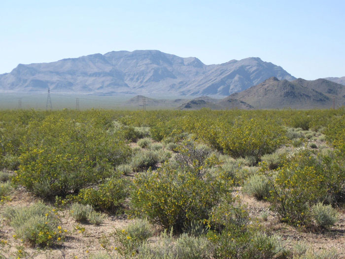
Before
^Desert tortoise (Gopherus agassizii) burrow on the project site. September 2010.
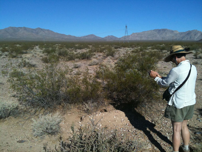
Before
^Ancient creosote rings, old growth Mojave Desert. These could be thousands of years in age. September 2010.
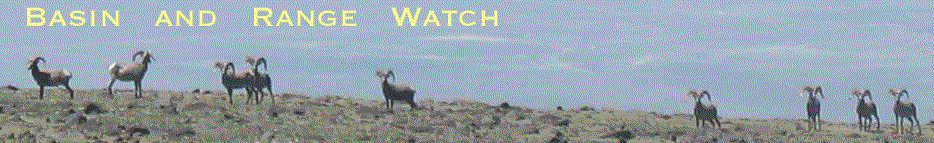
Before
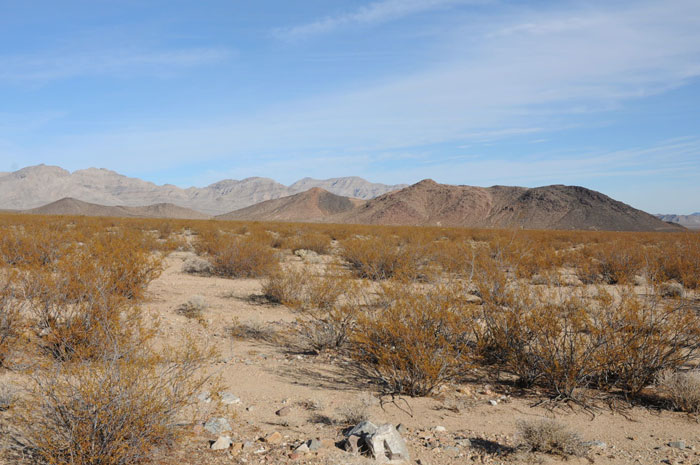
^The dry season in the creosote desert. The dark-colored Metamorphic Hill lies in the distance. November 2009.
Before
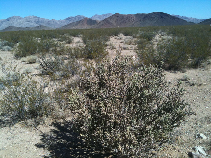
^Pencil cholla (Cylindropuntia ramosissima).
After
![]()
^Grading for solar project, November 2010. (Photo from Bureau of Land Management Monthly Monitoring Report)
After
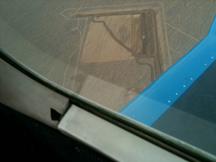
^Aerial view of the "Common Area." December 2010. The 'delta' shape is flood-control berms and channels on the up-stream side of numerous alluvial stream channels pouring off Clark Mountain, to protect the office buildings from flash floods. (Photo copyright Erin Whitfield 2010).
After
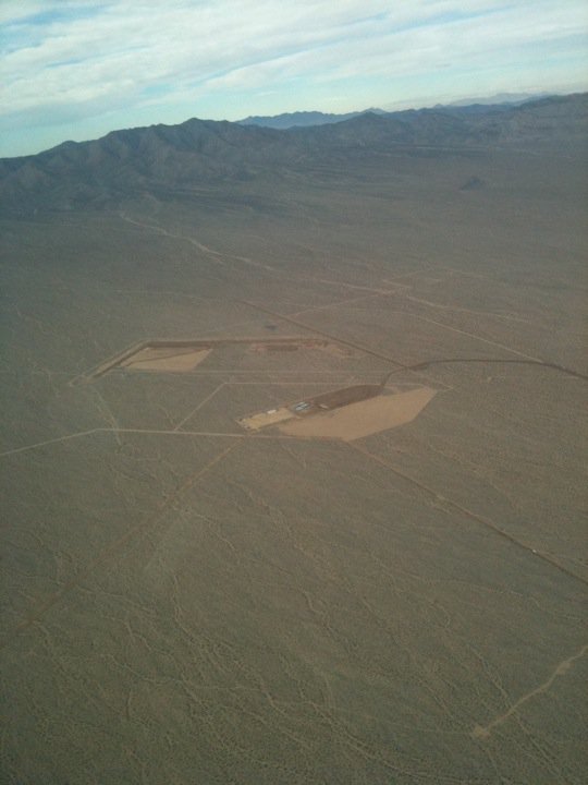
^Aerial view of the "Common Area." December 2010. (Photo copyright Erin Whitfield 2010).
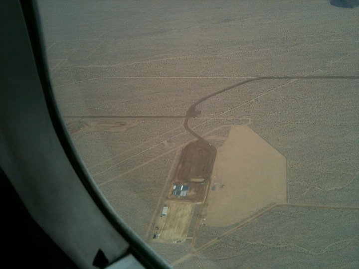
After
^New grading that began in October 2010 for the solar project construction lay-down area and main office. Photo taken December 2010. Clark Mountain within Mojave National Preserve lies in the upper part of the photo. Phase 1 occupies the lower part of the photo, where thousands of mirrors will reflect sun rays onto a central power tower. (Photo copyright Erin Whitfield 2010).
HOME.....Ivanpah Updates.....Project