Toquima Range Hike
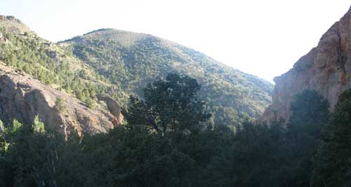
Three towering mountain ranges lie in central Nevada, all with flat-topped plateaus on top and high peaks jutting up, lively streams pouring down the sides, lush aspen groves, and summer wildflowers. The Toquima Range is the middle of the three, with Toiyabe Range to the west and Monitor Range eastward. Mount Jefferson at 11,941 feet is the highest peak in the region, rising above the sagebrush basins around it.
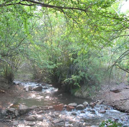
We took a hike up the peak in July, 2008 from the east side, up beautiful Pine Creek. Humboldt-Toiyabe National Forest runs a campground at the bottom of the stream, an excellent spot to stay for an early morning start.
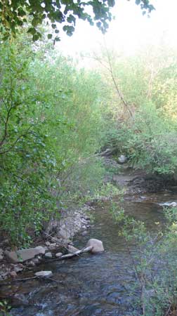
Pine Creek Campground had a nice stream running though aspen and willow groves, columbine flowers lining the water's edge in places. The previous weekend must have been busy, as we picked up a lot of trash, and found fishermen's used lines in spots. The Fourth should best be avoided for an overnight stay at this campground.
Water birches along the stream.
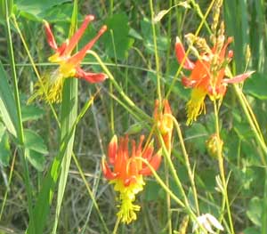 <Columbine
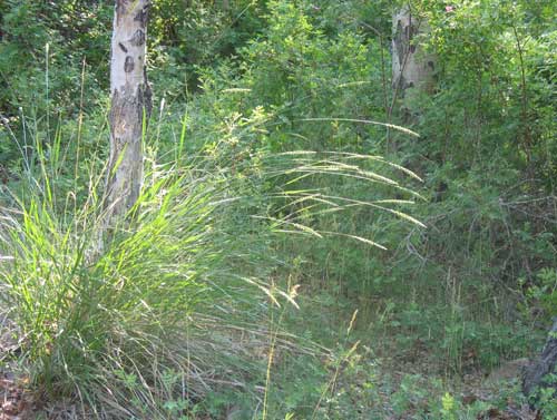
Large Great Basin wildrye bunches and wild rose bushes grow under aspens.
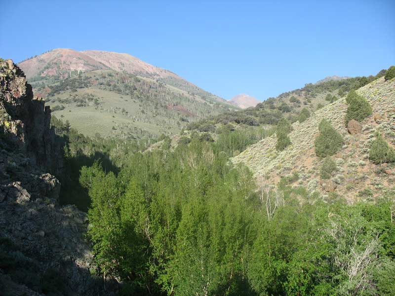
The hike begins at a gorge with high cliffs in the pinyon-juniper zone, crossing the creek numerous times -- prepare to get wet! Several avalanche-rockslides obliterated the trail, and we had to hunt about at times for the path. Mule packers had begun to cut new foot trails around fallen and torn up water-birch trees. The effort was worth it, however, as the creek ran clear, cold, and gorgeous, often lined with flowers. Trout skimmed under he surface for cover as we passed. Birdsong filled the shady riparian woodlands.
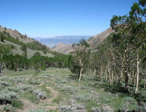
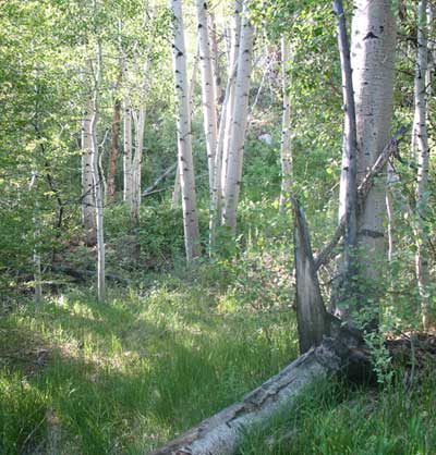
Aspen Woods and Wildflowers
Higher up the canyon and continuing to cross Pine Creek, white-trunked Aspen groves became common above the pinyon-juniper woodlands. Noisy cicadas clicked loudly all day in the shade of the green leaves and Oregon juncos trilled in the underowth. Plenty of flowers bloomed in he ground layer.
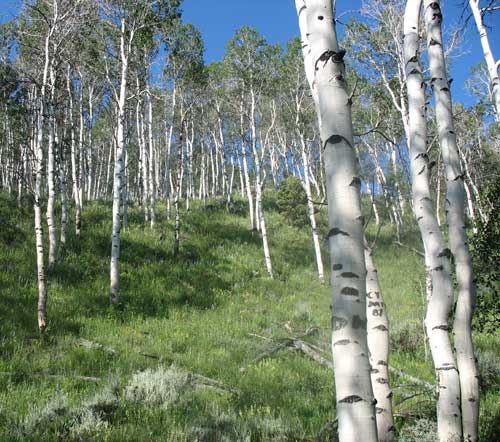
Lush Aspen groves.
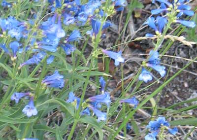
Blue Mountain penstemon
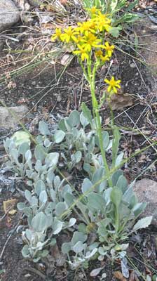
Groundsel
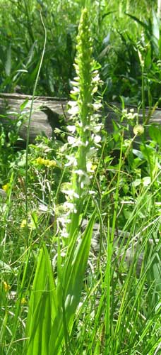
White rein-orchid
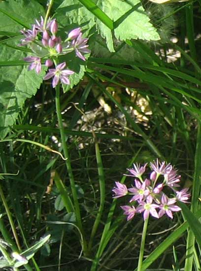
Aspen onions.
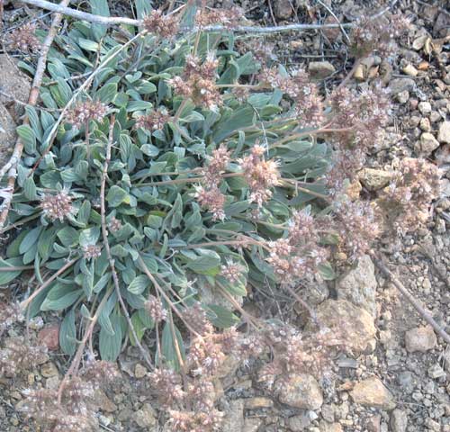
Silver-leaf phacelia
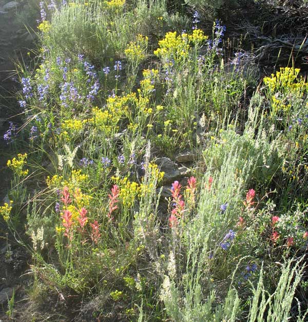
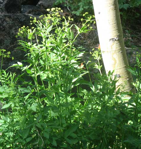
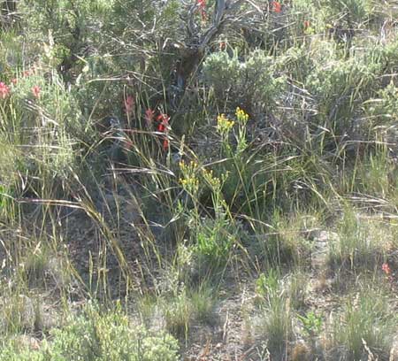
The sagebrush slopes had a colorful array of flowers: paintbrush, yellow groundsel, blue penstemon.
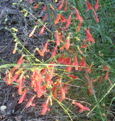
Firecracker penstemon
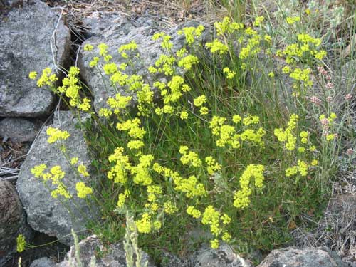
Sulphur-flower buckwheat
Lovely Aspen grove.
Snowberry, wild rose, and Ranger's buttons under the aspens.
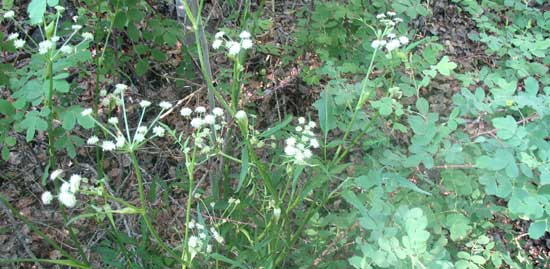
Sweet cicely.
Needle-and-thread bunchgrasses shows their long thread-like seed-awns glinting in the sun, among groundsel and paintbrush.
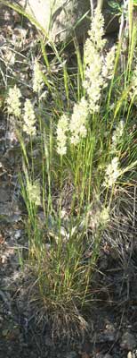
Shapely seed heads of Prairie junegrass.
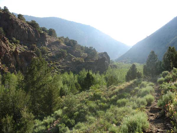
The trail up the long canyon -- it is longer than it looks! (About 4 miles to the crest.)
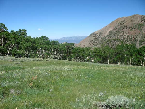
Aspen groves and lush meadows.
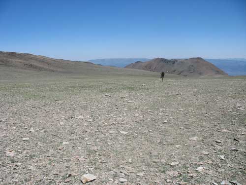
Sky Plateau
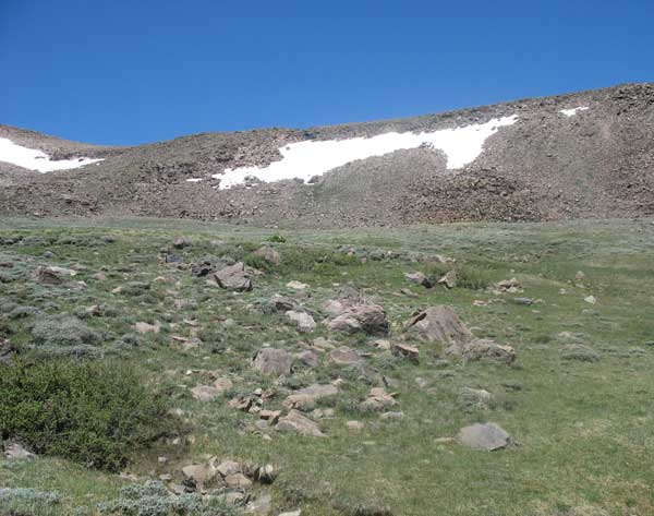
After a tiring climb on a rough stony trail, we made it to the crest, and it was well worth it. Expansive views in all directions greeted us. A deep blue sky shown down on the high alpine tundra flora of small wildflowers, barely visible until you step by them. A Golden eagle soared overhead and a herd of Bighorn sheep watched us at a distance.
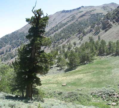
Subalpine forest of Western white pines. Golden-mantled ground squirrels (Spermophilus lateralis) scurried about at these higher elevations, enjoying their sky island home.
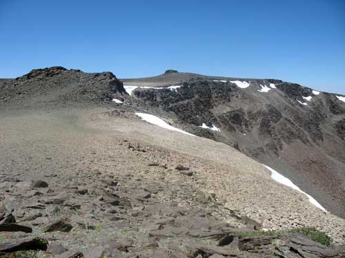
Snowbanks, rocky alpine flats and cliffs on the crest.
Micro-wildflowers on the tundra at more than 10,000 feet.
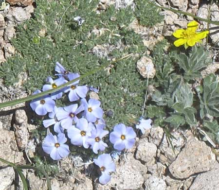
Compact phlox and yellow cinquefoil.
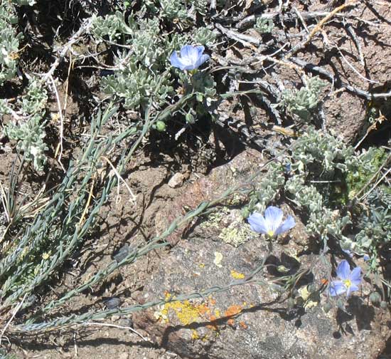
Flax
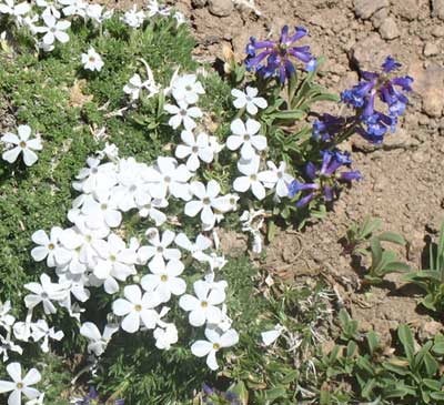
Compact phlox and small-flowered penstemon.
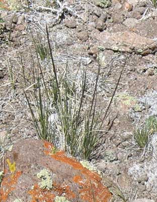
Alpine needlegras, a small unassuming bunchgrass characteristic of the high Colorado Rockies.
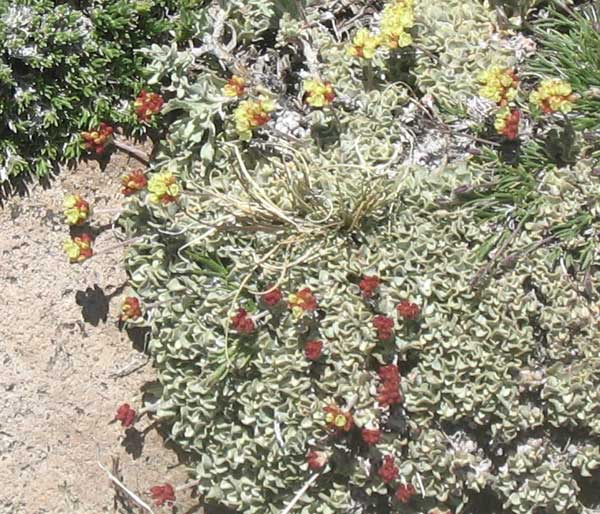
Cushion desert buckwheat.
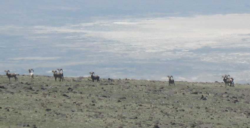
Home of a herd of Desert bighorn sheep, ram group.