 April Site Visit with Wildflowers
Our friends at Desert Protective Council made a field trip to the Imperial Valley Solar Project (Solar 2) area and found a diversity of Colorado Desert habitats and wildflowers. They generously gave us permission to use their photographs and descriptions to show the beauty of the place.
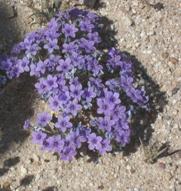
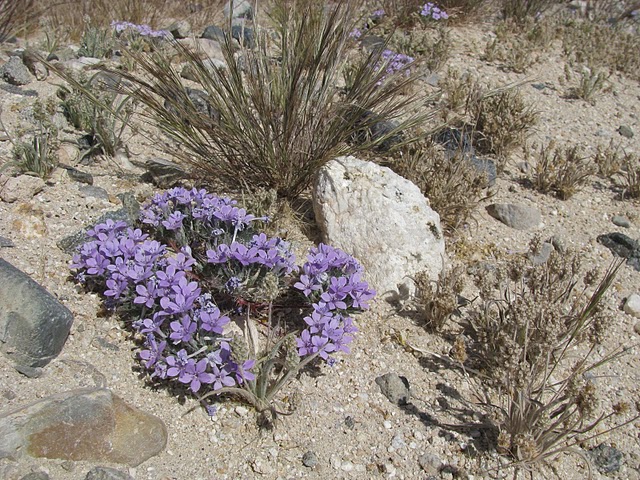
<Bristly Gilia (Langloisia setosissima) (Photo by Terry Weiner).
April 25 2010 Sunday, by Terry Weiner -
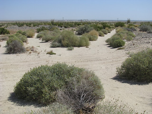
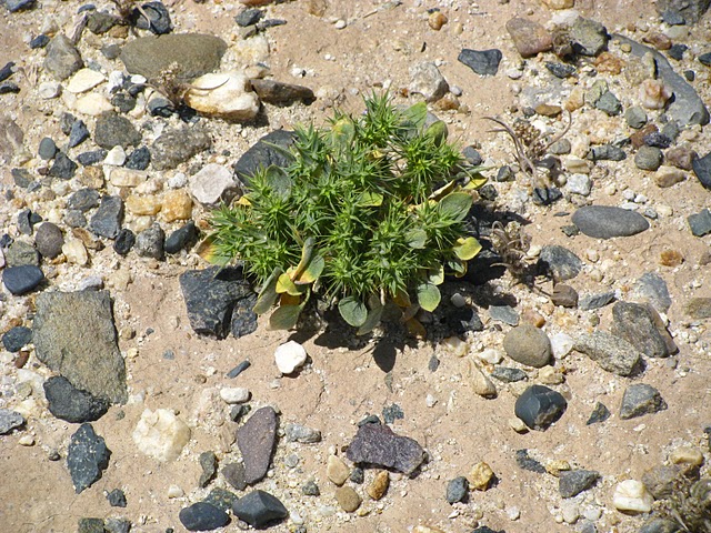
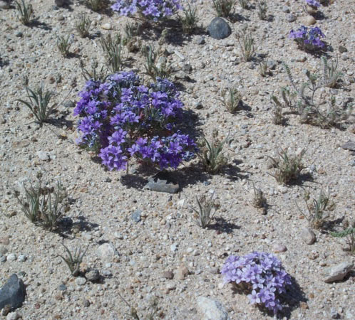
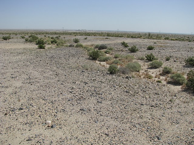
It was a glorious, above average clear and good-air-quality day. The distance from the western to the eastern end of the proposed site is over 5 miles long. We stopped east of the middle of the length of the site along Old Highway 80, across from the sprawling Plaster City OHV Open Area and left two cars and drove to about one mile west of the US Gypsum Plant. We headed south into the heart of the proposed Solar Two site on BLM Route number 246. We stopped for a stunning area of dark purple bristly gilia flowers strewn all over the west side of EC 246. Chris Clarke has posted some of these photos. We were to discover these gorgeous clumps of recumbent purple clusters throughout the site in areas of rocky desert pavement. We found beautifully colored rocks of all sizes, some with nicks, pocks and scratches, which looked as though they had been worked by humans. The site is a BLM limited use area with vehicular travel limited to designated routes. We found a variety of single and double tire tracks off the designated routes in the parts of the site, but they seemed old and as though they had not been used for a while. The old tracks did not dominate the landscape. This desert is far from being "trashed”. The signed routes on which we traveled did not look as they are used often either.
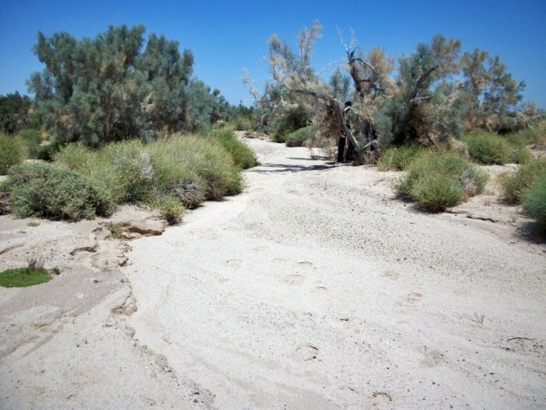
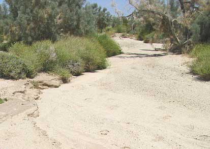
This is a lush piece of Sonoran (Colorado) Desert with a healthy array of low-desert shrubs and annuals. The area is crisscrossed with large and small washes, generally trending north to south although many curved around in all directions. Some of the washes we crossed were 30 feet wide and 3 feet deep. As documented in our photos, a number of the washes in the eastern part of the proposed site are lined with huge smoke trees and mature thick stands of honey mesquite. In the southeastern part of the site, there are culverts built under Highway 8 to carry the apparently sometimes-heavy run-off from the washes. As evidence of the recent flows of water, we photographed clods of dirt, pebbles and debris lodged three feet up the trunks of several of the 15 foot tall smoke trees along washes, indicating that these washes run hard and overflow their banks.
In the eastern end of the site, we came across the healthiest expanse of Galleta grass (Pleuraphis rigida) I can ever remember seeing in the southern California desert.
There was some Sahara Mustard in another area away from the Galleta grass at the eastern end of the site that had been disturbed by large areas of vehicular activity and digging of several large pits. The mustard was not prevalent in the more westerly parts of the site we visited.
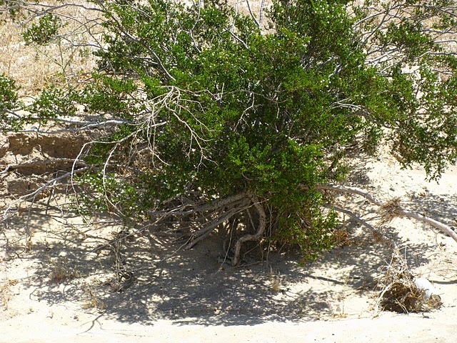
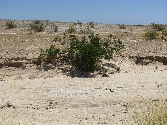
This area, in my opinion, is one of the prettiest and more-or-less intact areas of the western Imperial County desert. Because of the areas with mesquite mounds and the well-spaced shrubbery and gravelly surfaces, I would imagine that this area is very good flat-tailed horned lizard habitat.
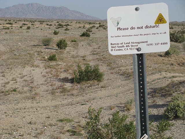
One can feel the connection of this area as part of the Yuha Desert and Yuha Area of Critical Environmental Concern [ACEC]. It was separated from the Yuha by the building of Highway 8 in the 1960s. That is only an artificial barrier. It should be considered all of a piece. The Native American Tribes traveled and inhabited the area north of Highway 8 as well as south. The site of the proposed Solar Two development was the Plaster City ACEC in the 1980s, according to Edie Harmon. We need to find some BLM documentation of this, or testimony of retired BLM El Centro staff who worked during the 1980s. There are hundreds of cultural resources scattered throughout the area, which need documentation and protection. This entire beautiful area deserves protection as Edie and Chris have eloquently expressed. Below is the plant list I recorded on Sunday.
--Terry Weiner
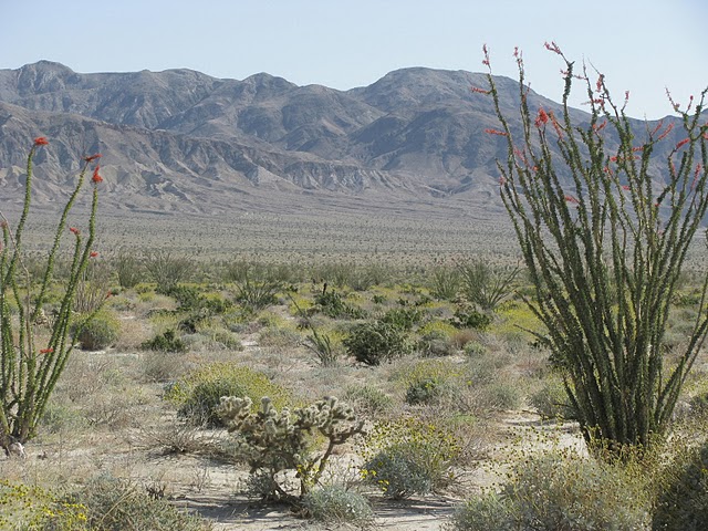
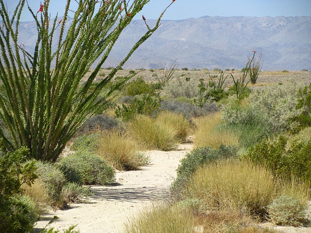
^Splendid desert. Ocotillo (Fouquieria splendens), flowering Brittlebush (Encelia farinosa) and cholla. (Photo by Tom Budlong).
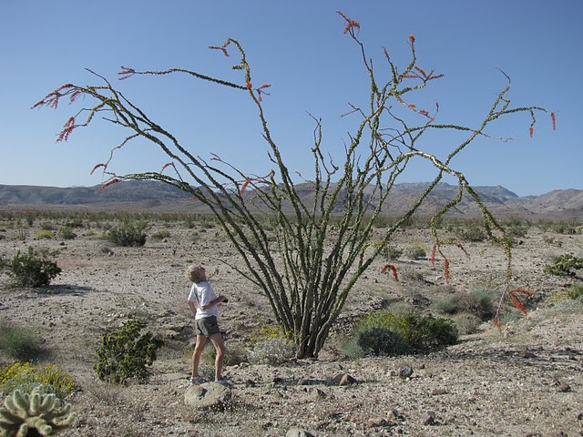
^Examining a wide-spreading Ocotillo. (Photo by Tom Budlong).
^ A diversity of plants; the fragile beauty of the site. Bristly Gilia (Langloisia setosissima) and Desert Plantain (Plantago insularis) (Photo by Tom Budlong).
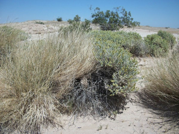
^Lush Big galleta grass (Pleuraphis rigida) and Bursage (Ambrosia dumosa) in a wash. (Photo by Terry Weiner).
^Bursage wash. (Photo by Tom Budlong).
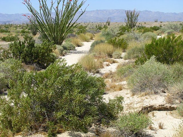
^Seeding Creosote (Larrea tridentata) with Ocotillos. (Photo by Tom Budlong).
^Spiny chorizanthe (Chorizanthe spinosa) (Photo by Tom Budlong).
^Brittle spineflower (Chorizanthe brevicornu) (Photo by Tom Budlong).
^Desert trumpet (Eriogonum inflatum var. deflatum) (Photo by Tom Budlong).
^Bristly Gilia (Langloisia setosissima) (Photo by Terry Weiner).
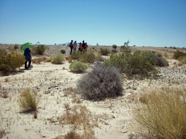
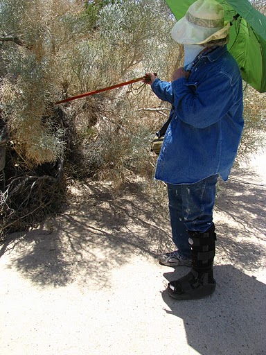
Walking the project area. (Photo by Tom Budlong).
^Desert Sunflower (Geraea canescens) ready to bloom. (Photo by Tom Budlong).
^Dead man’s fingers (Callandrinia ambigua) (Photo by Tom Budlong).
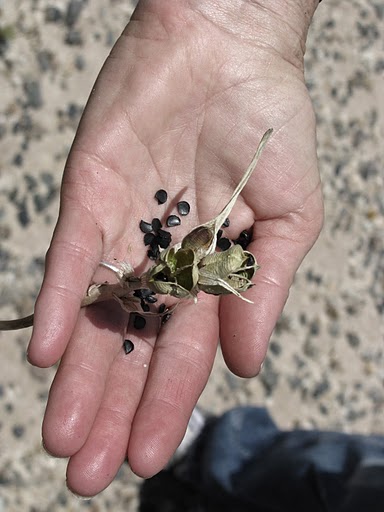
^ Desert lily (Hesperocallis undulata) seed pods and seeds are the same shape as Joshua Trees, but a lot smaller. (Photo by Tom Budlong).
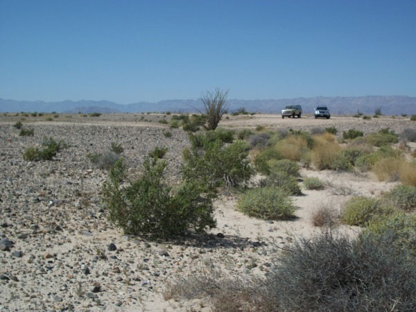
Solar 2 area (Photo by Terry Weiner).
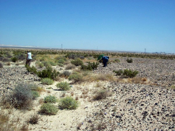
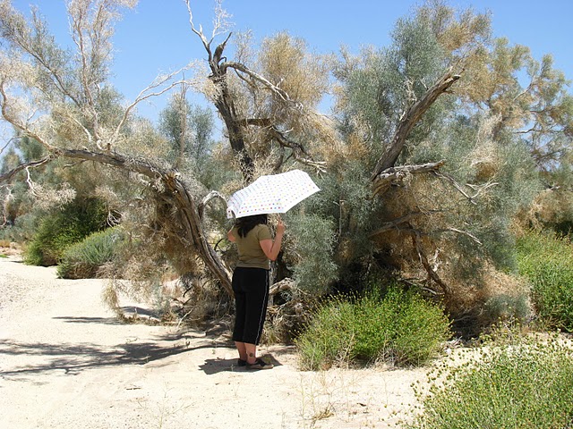
Looking for plants and other treasures (Photo by Terry Weiner).
One of many washes running through the project site. (Photo by Terry Weiner).
 .
.
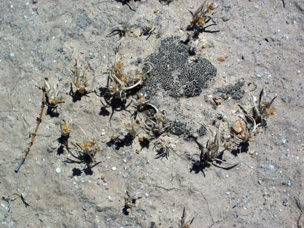
^Biotic soil crust on the project site. This lowly life form consists of blue-green algae, mosses, and sometimes liverworts, a living crust on the desert waiting for rains to green up. Wohlfahrt et al. (2008) report a net ecosystem deposition of 102 ±67 and 110 ±70 grams of Carbon per square meter per year in a central Mojave Desert ecosystem for 2005 and 2006. An estimated 5% of this carbon sink may be due to Biotic Soil Crusts. (Wohlfahrt, G., Fenstermaker, L. F., and Arnone, J. A.: Large annual net ecosystem CO2 uptake of a Mojave Desert ecosystem, Glob. Change Biol., 14, 1475–1487, 2008.)(Photo by Terry Weiner)
^Smoke Tree (Psorothamnus spinosus) wash. (Photo by Terry Weiner).
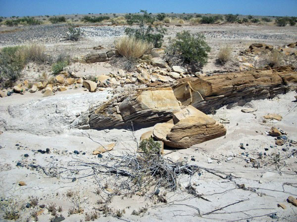
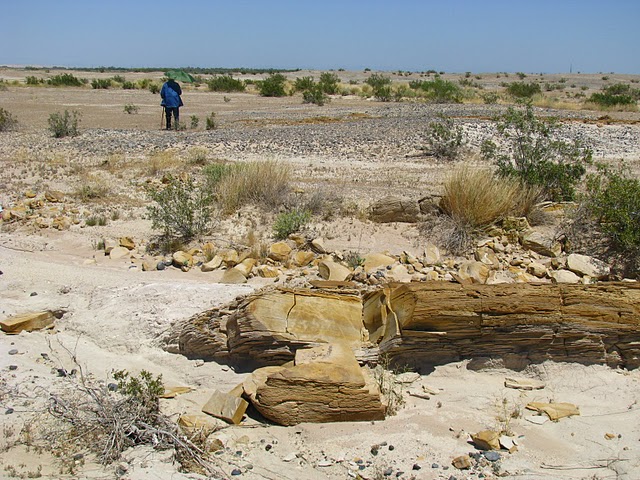
^Beautiful sandstone beds. (Photo by Terry Weiner).
^Honey Mesquite (Prosopsis glanulosa) (Photo by Tom Budlong).
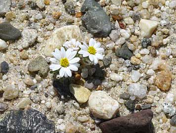
^Mojave Desert Star (Monoptilon bellioides) (Photo by Tom Budlong).
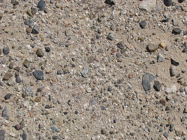
^Desert pavement, a habitat that holds secrets of you look closely. Desert pavements are caused by winds removing finer particles and leaving gravels and rocks. They take tens of thousands of years to form, and repair very slowly after disturbance. (Photo by Tom Budlong).
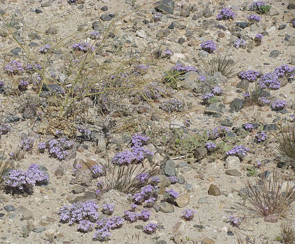
^Bristly Gilia (Langloisia setosissima) (Photo by Tom Budlong).
^Desert wash. It looks bone dry, but the extra moisture it collects promotes extra growth. Ocotillo, Bursage, Creosote, and Galleta grass (Pleuraphis rigida) grow tall in a sandy wash. (Photo by Tom Budlong).
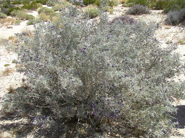
^Indigo Bush (Psorothamnus schottii). (Photo by Tom Budlong).
Plant List: April 25, 2010 - Ocotillo, California, by Terry Weiner
Zygophyllaceae
Creosote (Larrea tridentata)
Kramericaceae
Rhatany (Krameria grayi)
Polemoniaceae
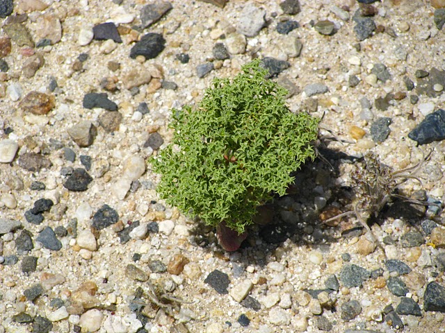
Bristly Gilia (Langloisia setosissima)
Broadleaf Gilia (Gilia latifolia)
Onagraceae
Brown-eyed Evening Primrose (Camissonia claviformis)
Papaveraceae
Little Gold poppy (Eschscholzia minutiflora)
Asteraceae
Burroweed (Ambrosia dumosa)
Pebble Pincushion (Chaenactis carphoclinia)
Esteve’s Pincushion (Chaenactis stevioides)
Cheesebush (Hymneoclea salsola)
Trixis (Trixis california)
Spanish Needles (Palafoxia arida)
Brittlebush (Encelia farinosa)
Stephanomeria (Stephanomeria exigua)
Desert Sunflower (Geraea canescens)
Desert Dandelion (Malacothrix glabrata)
Mojave Desert Star (Monoptilon bellioides)
Goldenbush (Isocoma sp.)
San Diego Sunflower (Viguiera parishii)
Aizoaceae
Crystalline Iceplant (Mesembryanthemum crystallinum)
(A few well-dispersed individual plants)
Malvaceae
Desert Five Spot (Eremalche rotundifolia)
Apricot Mallow (Sphaeralcia ambigua)
Plantaginaceae
Desert Plantain (Plantago insularis)
Poaceae
Galleta grass (Pleuraphis rigida)
Mediterranean Grass (Schismus barbatus)
Boraginaceae
Forget-me-nots (Cryptantha sp.)
Nyctaginaceae
Windmills (Allionia incarnata)
Hydrophyllaceae
Phacelia (Phacelia sp.)
Fabaceae
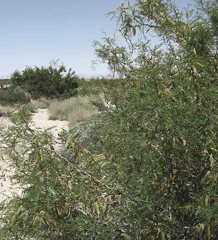
Indigo Bush (Psorothamnus schottii)
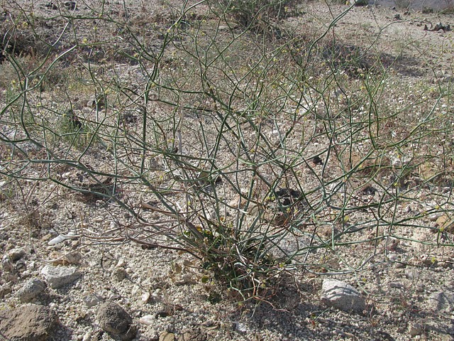
Smoke Tree (Psorothamnus spinosus)
Honey Mesquite (Prosopsis glanulosa)
Lotus (Dalea mollissima)
Polygonaceae
Desert trumpet (Eriogonum inflatum)
Buckwheat (Eriogonum deflatum)
Flat-topped buckwheat (Eriogonum deflexum)
Spiny chorizanthe (Chorizanthe spinosa)
Liliaceae
Desert lily (Hesperocallis undulata)
Portulacaceae
Dead man’s fingers (Callandrinia ambigua)
Solanaceae
Lycium (Lycium andersonii)
Fouquieriaceae
Ocotillo (Fouquieria splendens)
Chenopodiaceae
Desert holly (Atriplex hymenelytra)
Brassicaceae
Sahara Mustard (Brassica tournefortii)(Introduced invasive weed)
Flood Clues
^Many washes cross the Imperial Valley Solar Project site, such as this Smoketree wash. Questions arise as to how SunCatcher foundations will fare over time as floods scour them. (Photo by Tom Budlong).
^Admiring Smoketrees. (Photo by Tom Budlong).
^Creosote on the edge of a wash, with roots exposed from a recent flood event. (Photo by Tom Budlong)
^Same creosote. Note wash banks. (Photo by Tom Budlong).
^Pointing out debris wads caught on a Smoketree during a flood event. (Photo by Tom Budlong).
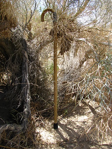
^The debris clump is near the top of the cane. The cane is three feet long, resting on the wash bottom. The flood must have been 2-1/2 feet deep. (Photo by Tom Budlong).
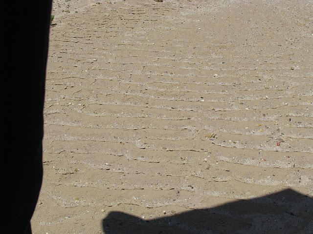
^Riffles from a recent flow in a wash. Probably from last winter. (Photo by Tom Budlong).
Off-road Vehicles, Dust, and the Undisturbed Desert
How often will the mirrors of each SunCatcher need to be washed after the desert is scraped over tens of thousands of acres? An ORV area exists nearby that is not well marked.
^Undisturbed desert crust. (Photo by Tom Budlong).
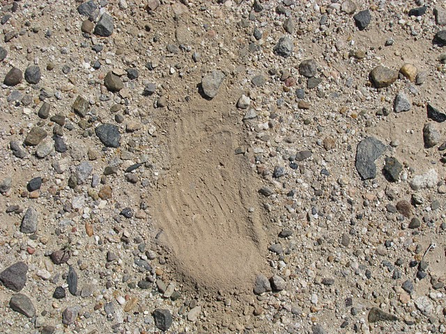
^Exact same location. Disturbed (Scuffed by a foot). Wind will pick up this fine soil and blow it around. (Photo by Tom Budlong).
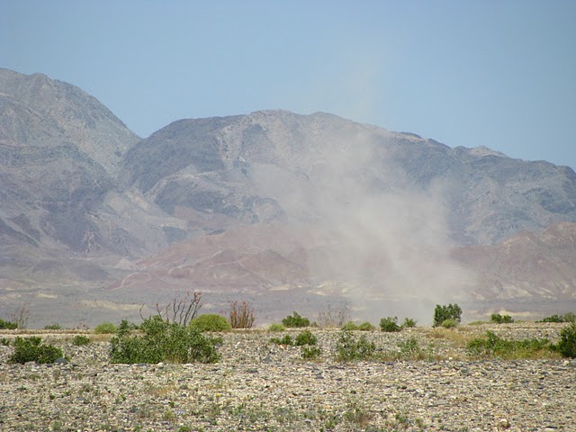
^Dust cloud from a single ATV. (Photo by Tom Budlong).
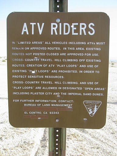
>Sign on entrance to desert south of S80: "...routes not posted closed are approved for use..." (Photo by Tom Budlong).
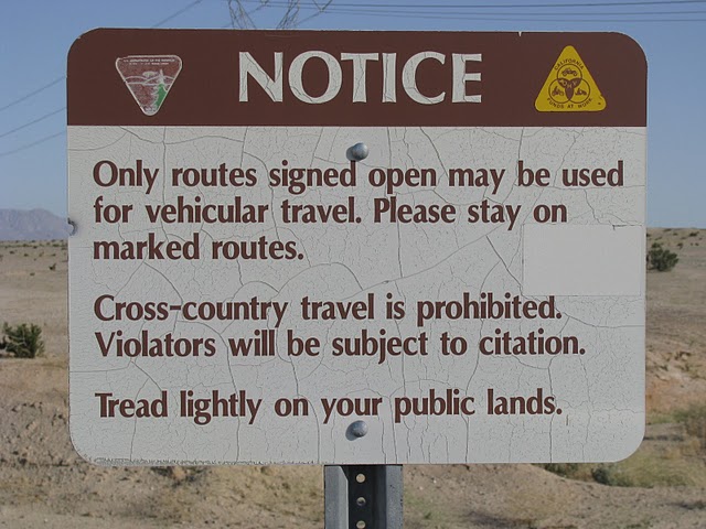
^A hundred feet further on: "Only routes signed open may be used...." (Photo by Tom Budlong).
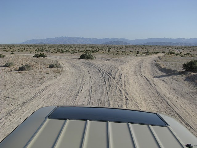
^Which route is signed open? Or closed? (Photo by Tom Budlong).
(Photo by Tom Budlong).
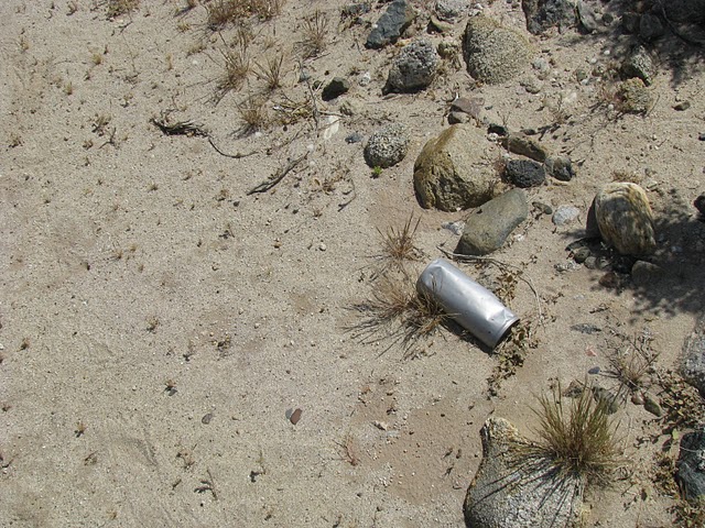
^Sand-blasted beer can. What will happen to polished mirrors? (Photo by Tom Budlong).
See also Trip Report on the Desert Protective Council blog.
HOME.....Solar 2 Updates.....Ocotillo Wind Project.....Sunrise Powerlink