Stateline Wilderness : Is the View About to Change? - page 1, 2
By Ivanpah Valley, San Bernardino County, California -
With unusual cool weather in early June, 2009 we decided to explore the small wilderness adjacent to the Ivanpah Solar Electric Generating System that is being planned over several thousand acres of fan and basin on the border of Nevada. How will the view be affected by this massive industrialization? Will wildlife be disturbed?
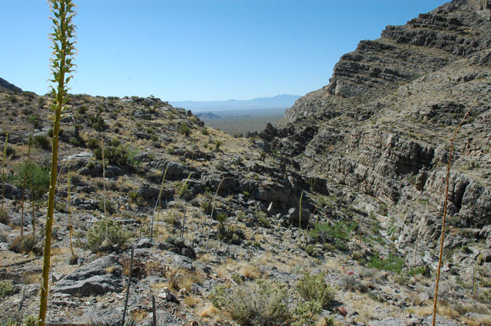
Located in the Clark Mountain Range a short drive from Primm, Nevada, northeast of the Mojave National Preserve unit that includes that peak, this part of the range is lower (to 4,500 feet elevation) and more arid. From a distance the cliffs and hills look barren. But as we hiked up a gorge and into a higher plateau, the details of the flora were amazing: cacti, agaves, acacias, and a wide diversity of shrubs and grasses hung from limestone cliffs and rocky slopes. Even outside of the wildflower season, the plant life and wildlife are abundant.
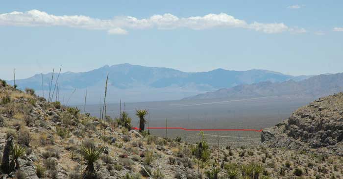
^From a higher plateau, we could look south over the proposed Ivanpah solar project site on the fan below. The Mescal Range and Ivanpah Range within Mojave National Preserve lie in the distance. The red line is the approximate northern boundary of the proposed Ivanpah Solar Electric Generating System; it will strech out far into the distant fan.
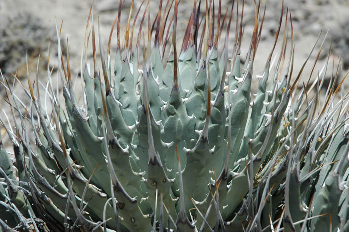
^Clark Mountain agave (Agave utahensis var. nevadensis), a small agave found in only a few mountain ranges in the East Mojave, southern Nevada, and Utah-Arizona borderlands.
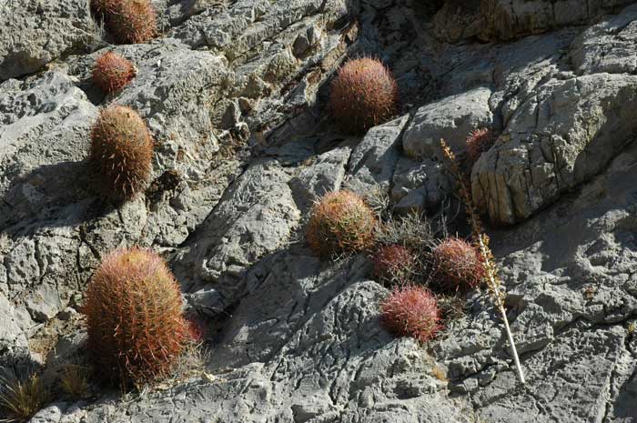
^Barrel cactus (Ferocactus cylindraceus) hug the limestone face, growing from crevices.
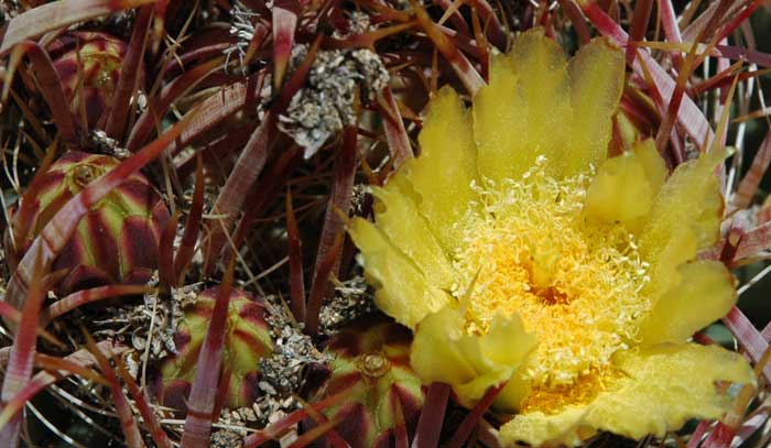
^Barrel cactus flowering.
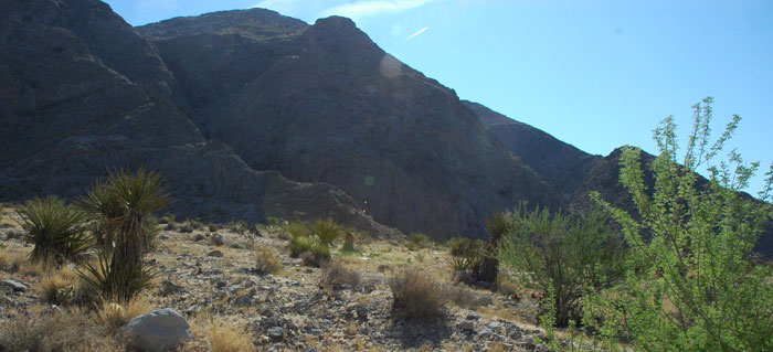
^Catclaw acacia (Acacia greggii) and Mojave yucca (Yucca schidigera) grow at the base of the canyon we climbed, facing the fan that may be destroyed for a solar project.
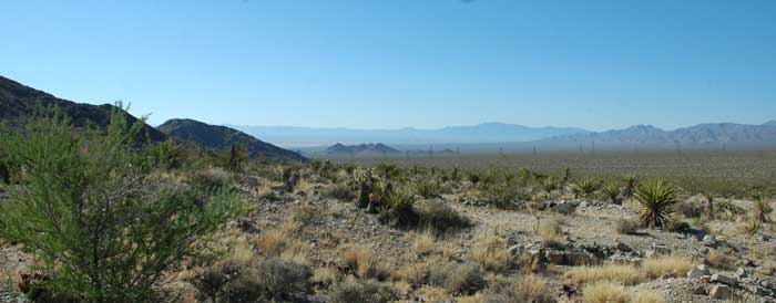
^View of the proposed Ivanpah solar project site, looking south from the Stateline Wilderness edge. The small dark hill marks one side of the mirror arrays, and the entire flat to the right of this would be built upon. The distance is only one or two miles.
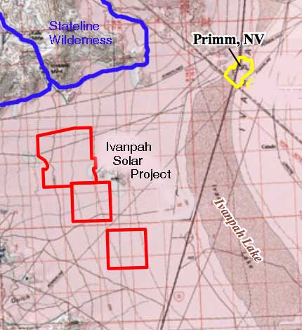
^Stateline Wilderness and next to it the Mesquite Mountains Wilderness (left) would be only a mile or two from the proposed solar energy project site.
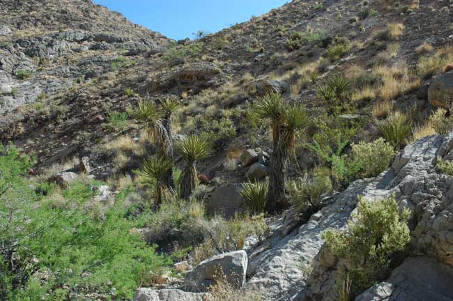
^The canyon is lush with yucca, catclaw, and Big galleta grass (Hilaria rigida) from monsoonal summer rains in summer. This canyon actually divides two wilderness areas, Stateline on the east side and Mesquite Mountains on the west side.
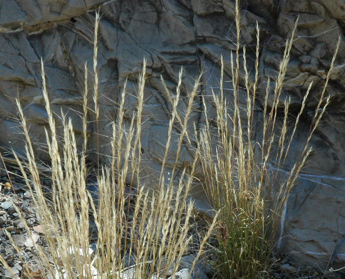
^A delicate bunchgrass that prefers limestone, Purple threeawn (Aristida purpurea).
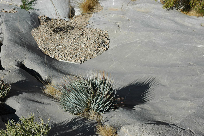
^Agaves on limestone made smooth by floodwaters periodically scouring the canyon.
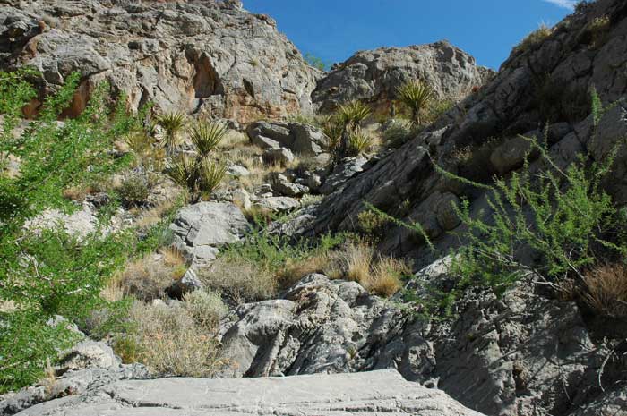
^Lush limestone canyon. Canyon wrens sang from the cliffs.
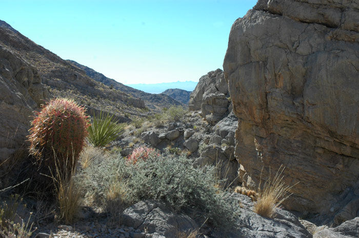
^Barrel cactus, yucca, a gray rhatany (Krameria sp.) shrub, and Purple threeawn.
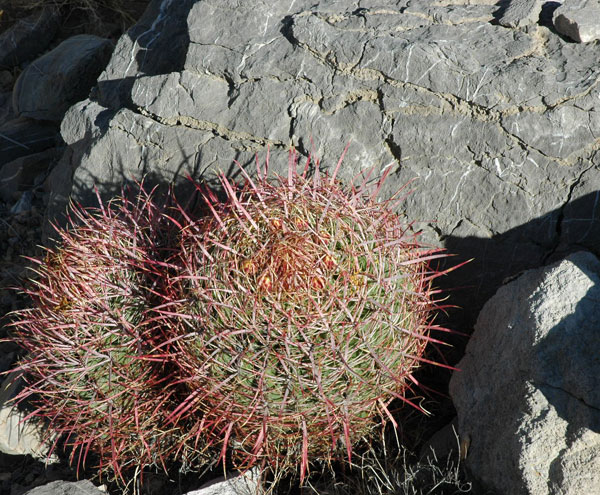
^Barrel cacti in limestone.
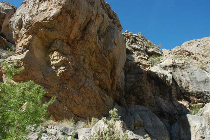
^Cliffs in the canyon dividing two wilderness areas.
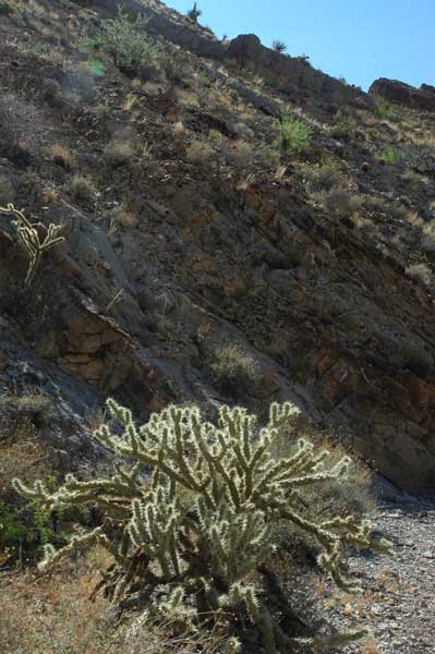
^Buckhorn cholla (Cylindropuntia acanthocarpa).
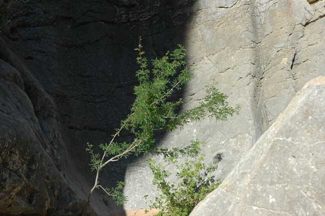
^Catclaw acacia in a water-worn chute of rock.
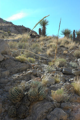
^Agaves and yuccas.
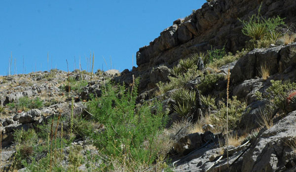
^Rock shelves with succulent gardens.
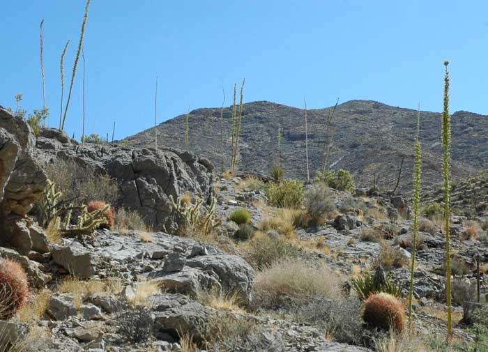
^Agaves, barrel cacti, buckhorn chollas.
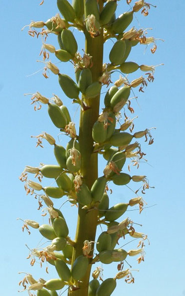
^Clark Mountain agaves with flowers on a long stalk 10 feet high.
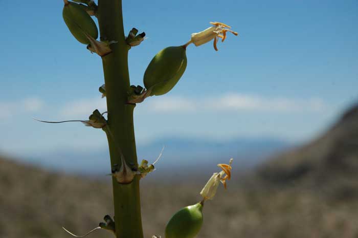
^Agave flowers with pollen anthers out in the wind.
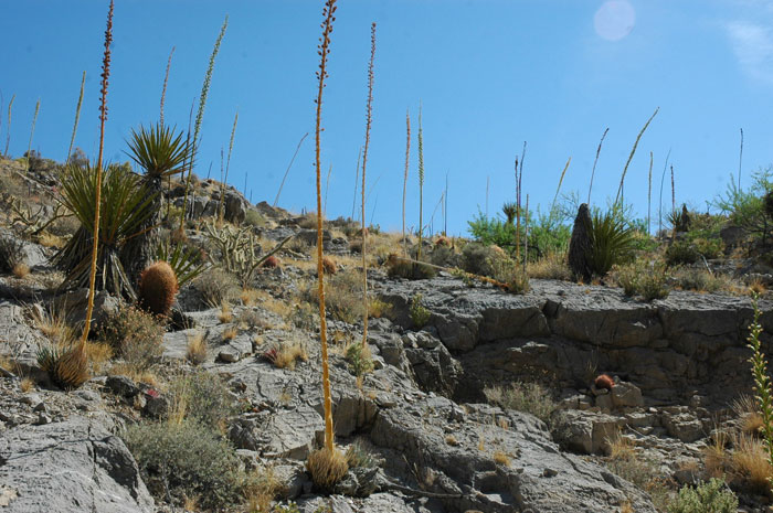
^Agave forest.
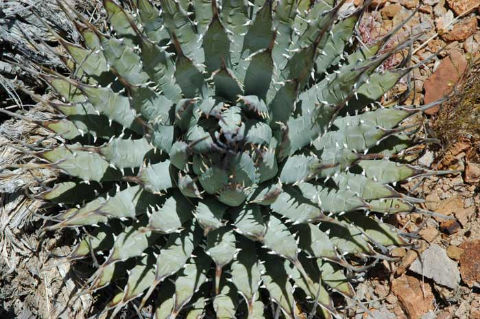
^Rosette of agave spiny leaves. The rosette blooms once then dies, but it often produces leafy offsets that continue on as new rosettes.
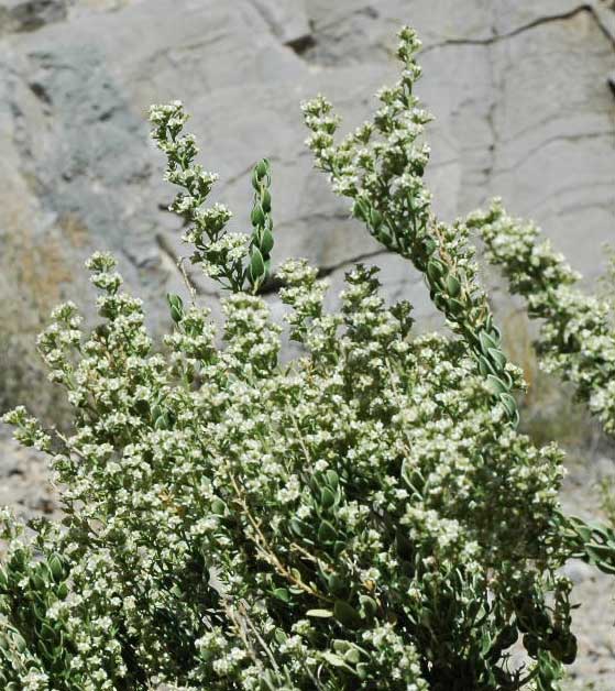
^An unusual shrub that also likes limestone habitats, Mortonia (Mortonia utahensis) flowers in June. Its leaves are leathery, alternate, and rather like the scales of a snake. It is found in California only in these few ranges in far northeastern San Bernardino and Inyo Counties.
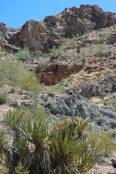
^Mojave yuccas and rock outcrops.
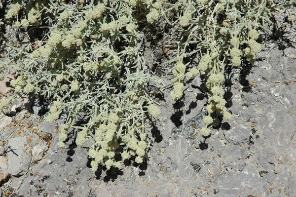
^Another rare and interesting limestone shrub, Butterfly bush (Buddleja utahensis) grows in this range. The leaves have wavy margins and the flowers are spherical clusters. We found this shrub on the site of the Ivanpah solar project as well.
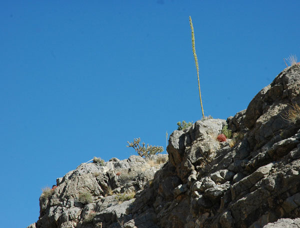
^Flowering agave stalk juts from a cliff top.
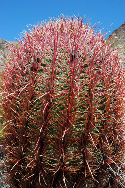
^Large Barrel cactus.
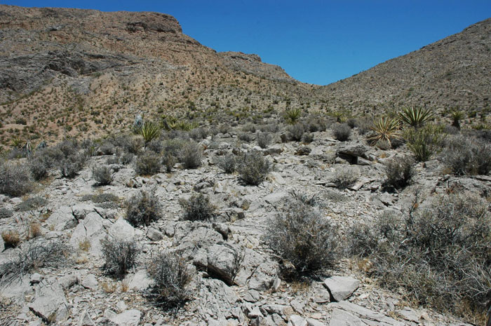
^Blackbrush (Coleogyne ramosissima) shrubland on a high valley.
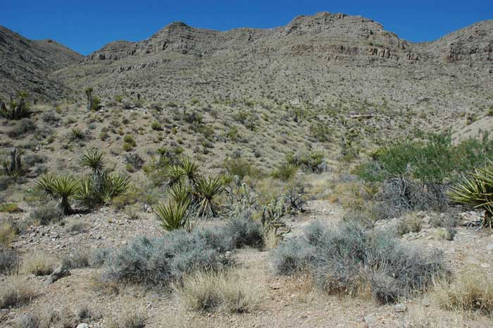
^Yuccas, rhatany, cholla, and catclaw.
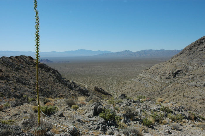
^An agave overlooks the broad fan that will be developed for the Ivanpah solar project.
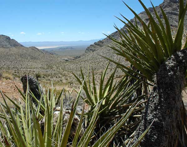
^Mojave yuccas, with Ivanpah dry lake in the distance.

^Cliffs with agave, chollas, barrel cacti, and Purple threeawn.
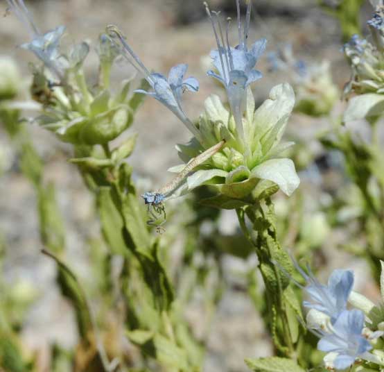
^Aromatic flowers of Mojave sage (Salvia mohavensis).
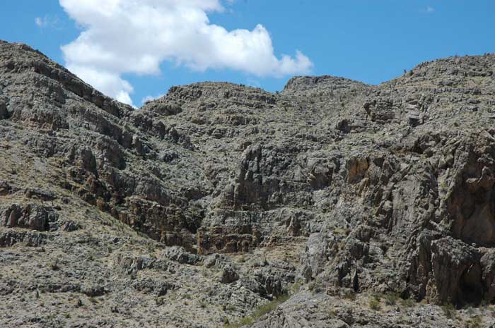
^Limestone cliffs.
Bighorn Sheep Home
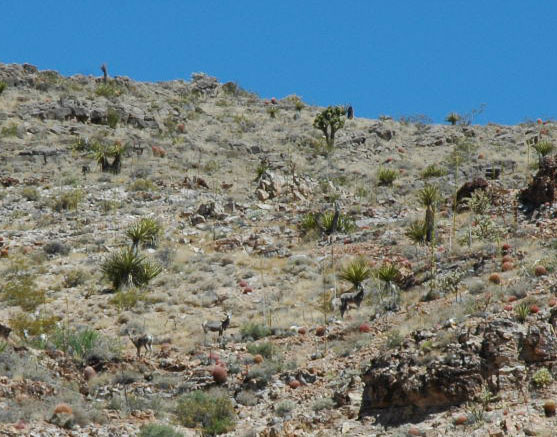
^High up in our hike we came across a herd of six ewes grazing in a grassy ridge slope among yuccas and cacti, a single Joshua tree (Yucca brevifolia) above them).
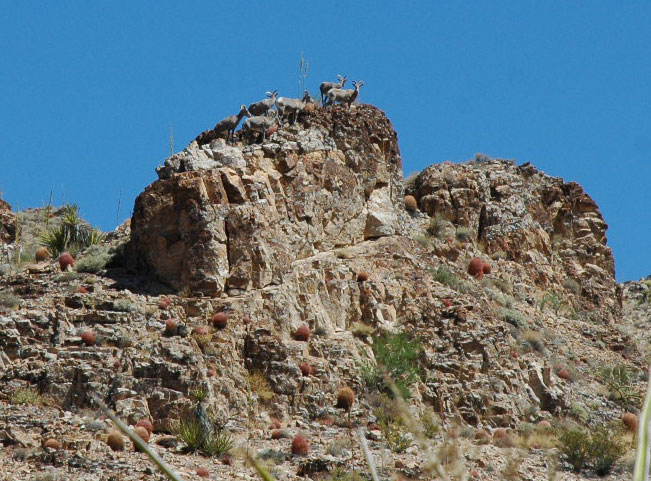
^We sat quietly and watched them. These Desert bighorn sheep (Ovis canadensis nelsoni) became curious and climbed onto a rocky pinnacle to get a better look at us.
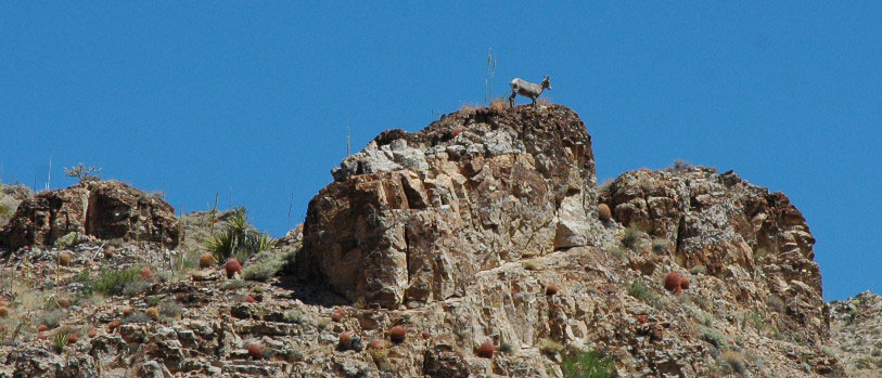
^Then they left, one by one, to continue grazing up the canyon. We hope the industrialization of the nearby basin will not disturb them.
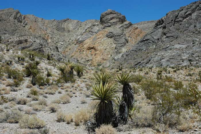
^We left the sheep in peace and returned back down the mountain.
Historic Mines
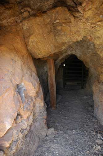
^The old Umberci Mine tunnel goes back into the mountain slope. A bat-gate closes off the tunnel to humans but allows the flying mammals to enter. The cool air coming out of this shaft was a relief in the hot afternoon air that reached the 90's (degrees Fahrenheit).
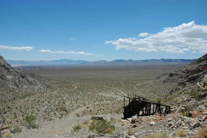
^Umberci Mine relicts. The whole background scene will be the site of the thousands of mirrors generating electricity for the Ivanpah project. The noise impacts, dust, and night lights will drastically change this quiet remote area.
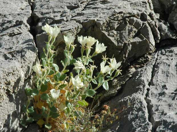
^Rock nettle (Eucnide urens) growing on a limestone cliff.
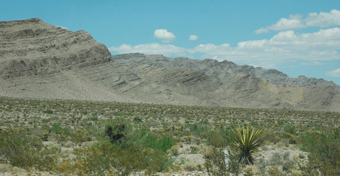
^The limestone ridges of Stateline Wilderness as seen from the dirt access road across the fan, a mile or so from the proposed Ivanpah solar project.
Page 2 - Plants, Birds, Reptiles, Mammals
See the Bureau of Land Management web page >>here.
HOME......Page 2......Ivanpah Solar Project.....Last Spring at Ivanpah?
