Visit to the Mountain
^Aspen grove in Parsnip Peak Wilderness looking northwards towards Table Mountain where wind turbines would be visible.
July 16, 2011 - Members of Basin and Range Watch spent a weekend in early summer exploring the Wilson Creek Range and Parsnip Peak Wilderness, to see what is at stake for the proposed 31,000-acre Wilson Creek Wind Project. We toured the back-country byways by car, camped, hiked, watched wildlife, enjoyed the wildflowers, and found this area to be a relatively easily accessible place to get into wildlands.
This is a low but lush mountain range close to the Utah border, receiving ample summer rains that produce grass and flowering meadows. We saw a high diversity of birds, as well as abundant elk and mule deer sign.
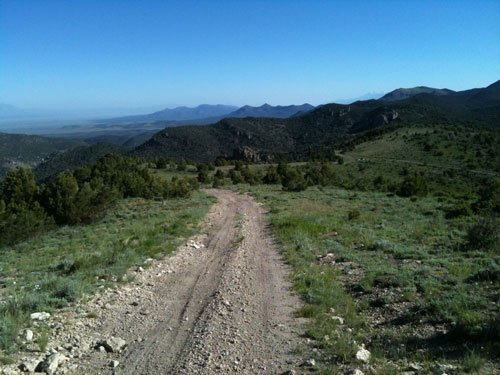
Three wilderness areas surround the proposed wind project, but opportunities for everyone to get out and experience the spectacular views is available by dirt roads such as Mt. Wilson Back Country Byway. At the southern end of the range is Spring Valley State Park.
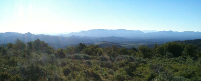
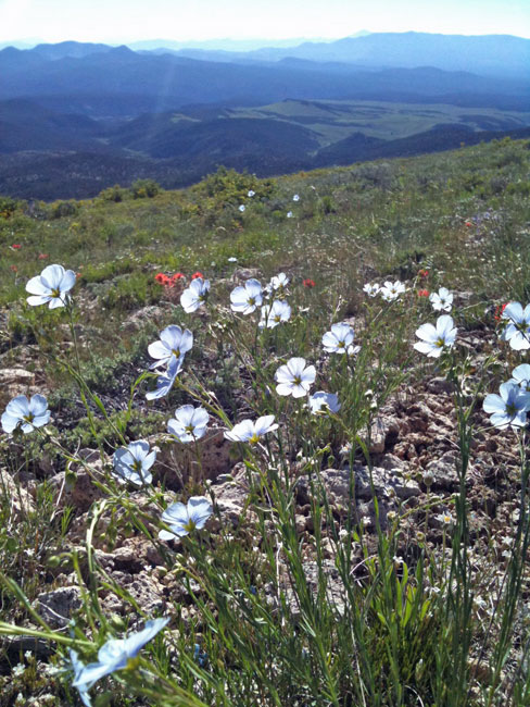
^Delicate alpine meadows on the Phase 1 project site with Mt. Wilson in the distance.
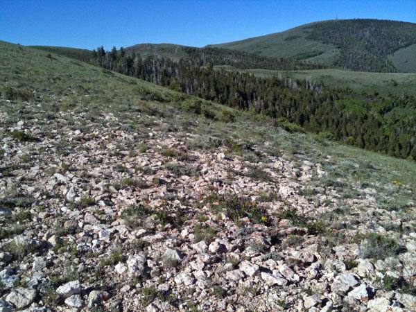
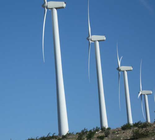
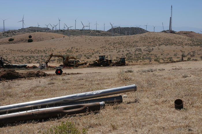
^Giant Wind Turbine Generators on the Tehachapi Mountains in California, a new wind project under construction. New access roads, foundations, and equipment yards scar the mountain.
Delicate Meadows
^Bluebunch wheatgrass (Pseudoroegneria spicata, also known as Agropyron spicatum) is common on the higher open ridges. It is a native bunchgrass that thrives in areas with cold winters and some summer rain in the interior western US into Canada.
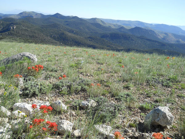
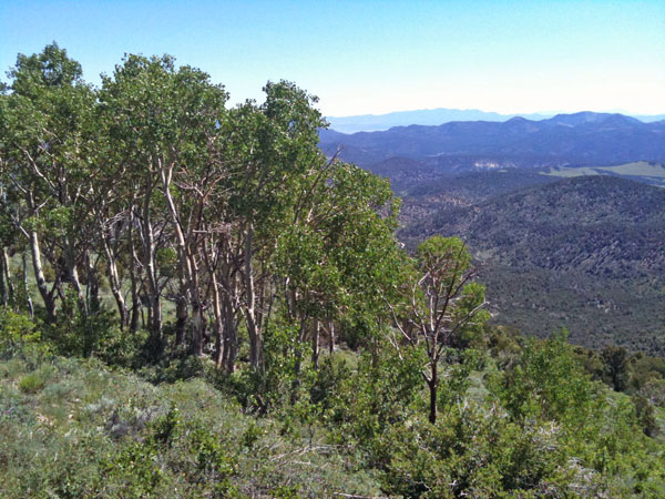
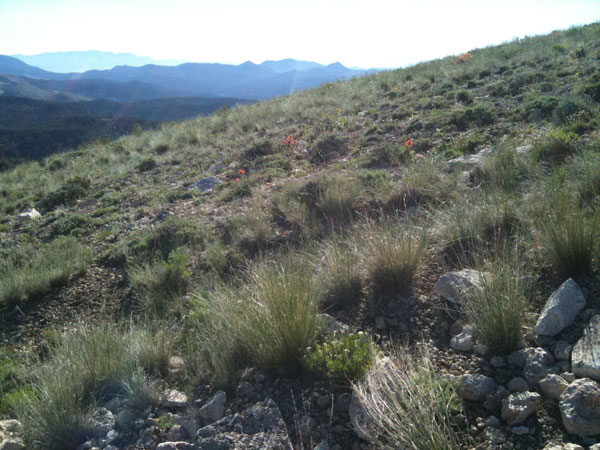
^Paintbrush blooms dot the alpine grassland on the Wilson Creek Range in the area where wind turbines are proposed. Shallow soils with volcanic rhyolitic rocks make the area subject to erosion damage when disturbed.
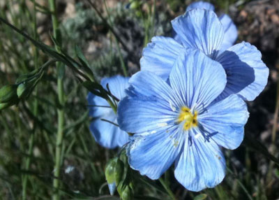
^Native Blue flax (Linum perenne) grows on the grassy ridges.
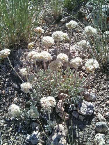
^Cushion buckwheat (Eriogonum ovalifolium) grows on the rhyolite gravel on the grassy mountain tops.
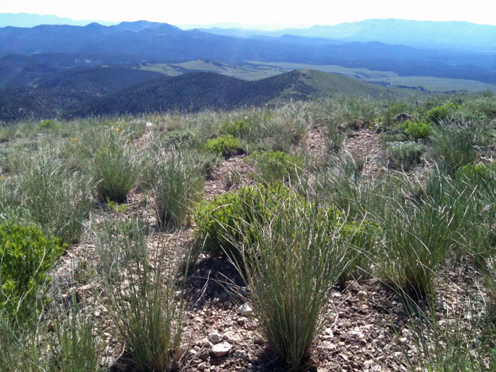
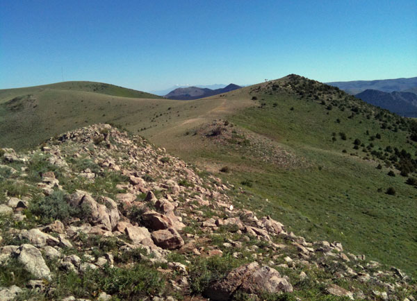
^Bluebunch wheatgrass on Phase 1 slopes of the Wilson Creek Range at sunrise. The project is so large that Phase 3 turbines would be visible across the valley on the distant White Rock Mountain.
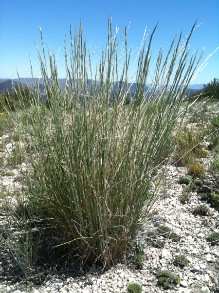
^Bluebunch wheatgrass is large and robust. It contains an ancient genome of Ice Age grasses that once grew across Eurasia and tens of thousands of years ago may have been a major component of the "Mammoth Steppe."
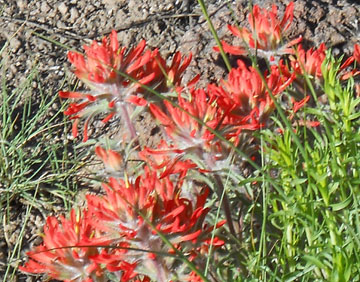
^Paintbrush (Castilleja chromosa).
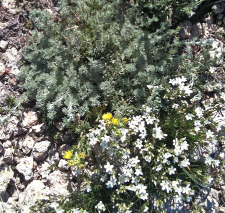
^Fringed sagebrush (Artemisia frigida) is a low-growing perennial that also inhabits Siberia. Yellow Potentilla and white-flowering Sandwort (Arenaria sp.) grow with it.
^Early morning near Mt. Wilson in the wind project site, looking east towards the White Rock Mountains.
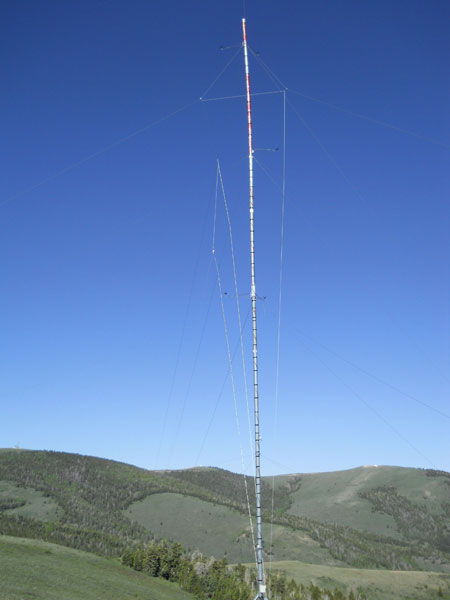
^Spine of the Wilson Creek Range in Parsnip Peak Wilderness. The Meteorological tower for the wind project is Barely visible on the rounded grassy ridgeline in the upper left, right on the boundary of the wilderness.
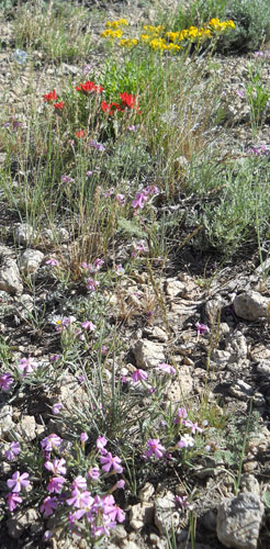
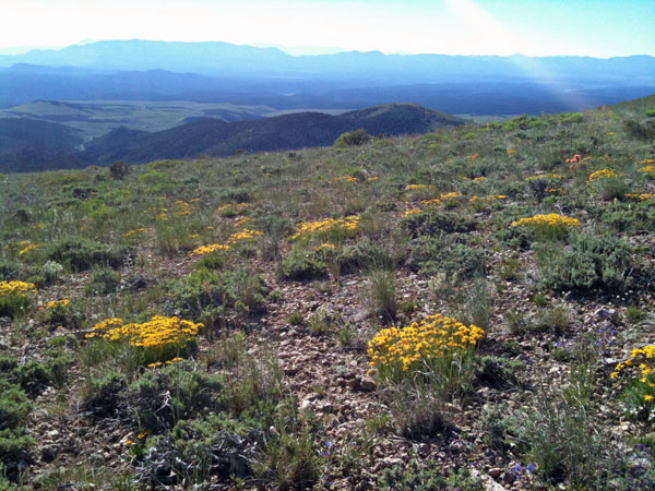
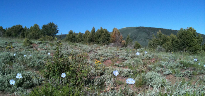
^Delicate flower fields on the project site: phlox, paintbrush, and goldenweed. Will these areas be scraped for new access roads, turbine pads, and large heavy-haul trucks?
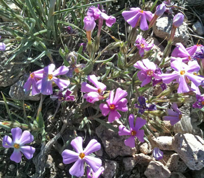
^Pink phlox (Phlox sp.).
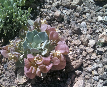
^A small rosette succulent on the open ridges.
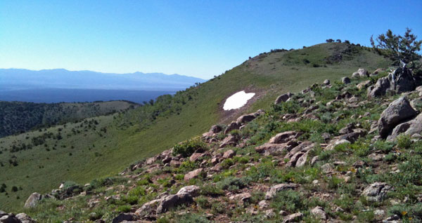
^A snowpack remains on a Parsnip Peak Wilderness ridge.
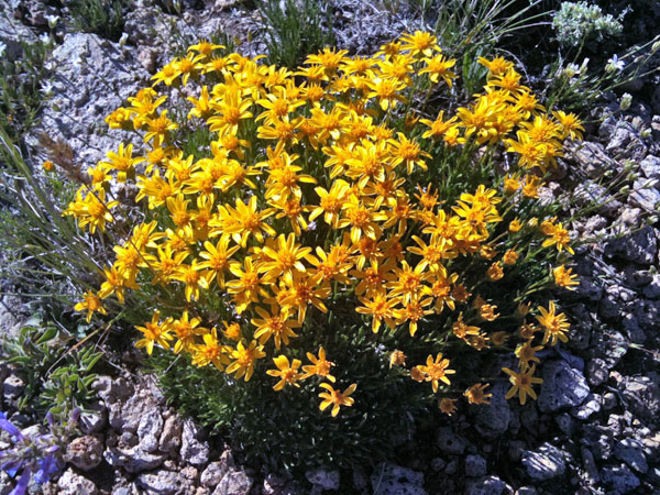
^Goldenweed (Stenotus acaulis, formerly Haplopappus acaulis).
^Cinquefoil (Potentilla concinna).
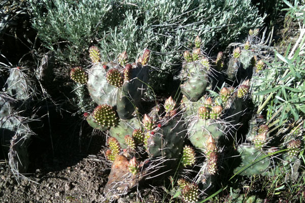
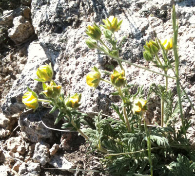
^Plains prickly pear (Opuntia polyacantha var. polyacantha). This may be a far southwestern outpost of the range of this cactus, which grows to the east more, in Montana, the Great Plains, and Canada. The Wilson Creek Range may be a rare Lincoln County distribution, this species has been recorded for White Pine and Elko Counties in nevada. This species needs to be evaluated, as it is growing in the project area where turbine pads and roads would be graded into montane grassland habitat.
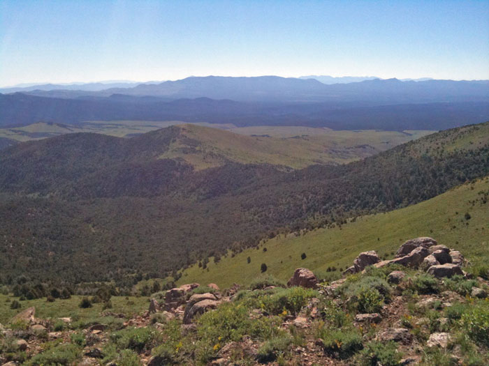
^View east looking at the White Rock Mountains.
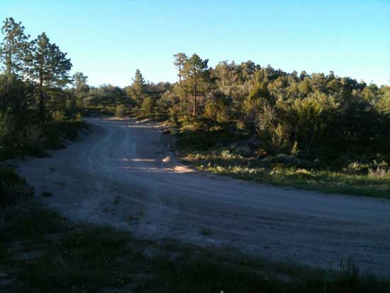
^A small road winds up the Wilson Creek Range in the wind project area. This road would need to be widened.
^Flax flowers.
^Blue flax and low sagebrush, with Mt. Wilson behind. This would be a widened access road for wind turbines.
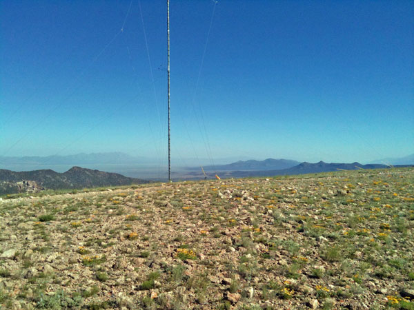
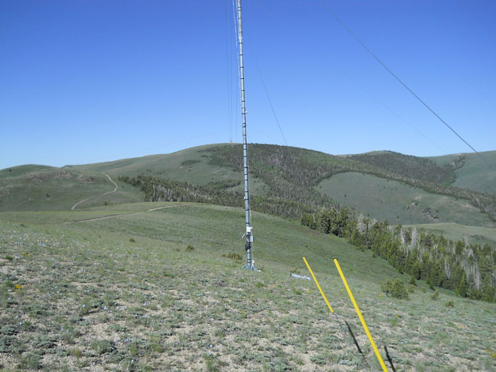
^Meteorological tower on the Wilson Creek Range, Phase 1 of the proposed wind project, next to the boundary of Parsnip Peak Wilderness.
^We saw a Golden eagle fly within a quarter mile of this Met tower, which has guy wires that birds may accidentally hit. Mt. Wilson is in the background.
^Met tower neat Mt. Wilson on the delicate alpine grassland, and Golden eagle habitat.
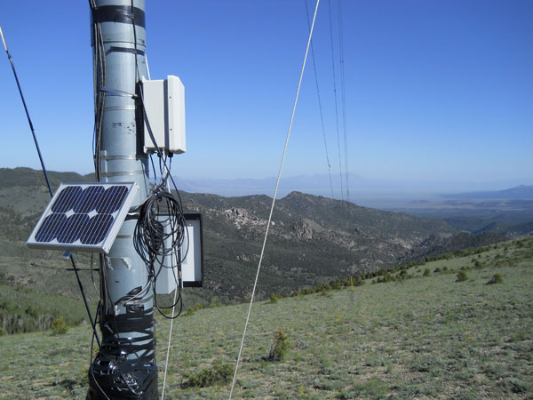
^Met tower.
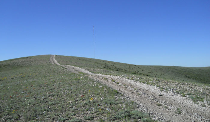
^Met tower and small dirt road that will have to be widened and graded through this flowery montane rhyolitic grassland.
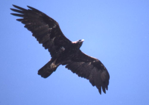
^Golden eagle.
Wildlife and Wildflowers
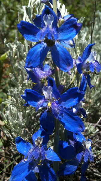
^Showy larkspur (Delphinium bicolor).
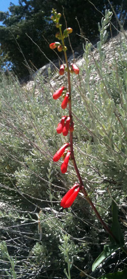
^Firecracker penstemon (Penstemon eatonii).
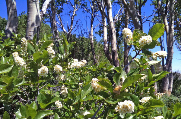
^Chokecherry (Prunus virginiana) shrubs next to Aspen.
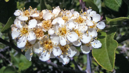
^Chokecherry blossom.
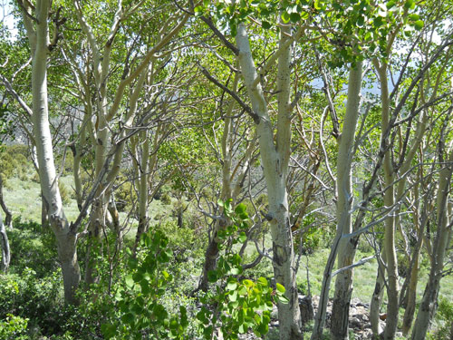
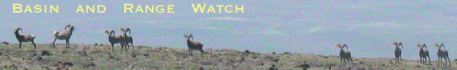
^Aspen (Populus tremuloides) in Parsnip Peak Wilderness.
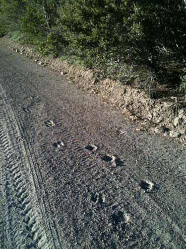
^Elk tracks in dried mud along Mt. Wilson Back Country Byway, in an area proposed for wind turbines in Phase 1.
A herd of Rocky Mountain elk (Cervus canadensis) thrives on the Wilson Creek Range, attracted by large burns that occurred after 1999, producing abundant grass.
The Nevada Division of Wildlife states that for the Wilson Creek Range Rocky Mountain elk herd, "...private companies have targeted areas in Lincoln County for placement of wind-generated power structures. These changes.... will likely result in continued habitat degradation for Lincoln County" (NDOW 2004-2005 Big Game Status, www.ndow.org/about/pubs/pdf/reports/biggame.pdf, p. 59).
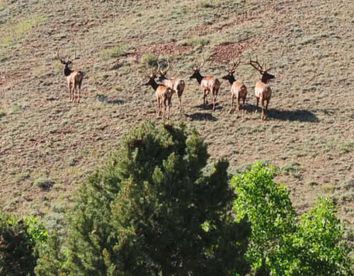
^Elk bulls seen on the Monitor Range, Nevada.
^Mountain mahogany and small Ponderosa pine (Pinus ponderosa) on the Phase 1 area the proposed wind project, Wilson Creek Range.
^Hawksbeard (Crepis sp.).
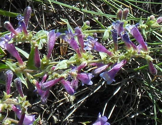
^Showy penstemon (Penstemon speciosus).
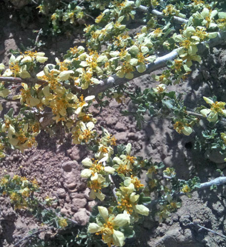
^Bitterbrush (Purshia tridentata).
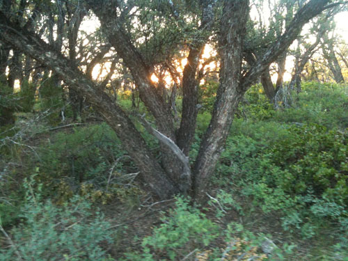
^Mountain mahogany (Cercocarpus ledifolius) thickets in Phase 1 of the wind project.
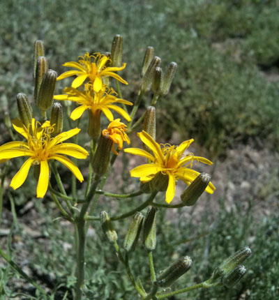
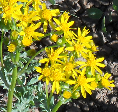
^Groundsel (Senecio sp.).
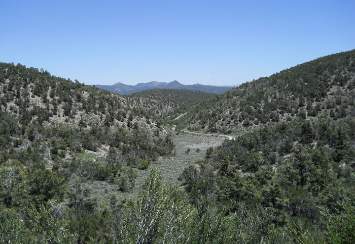
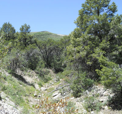
^Canyon winding down to Cabin Valley Road. Elk and Mule deer are abundant here.
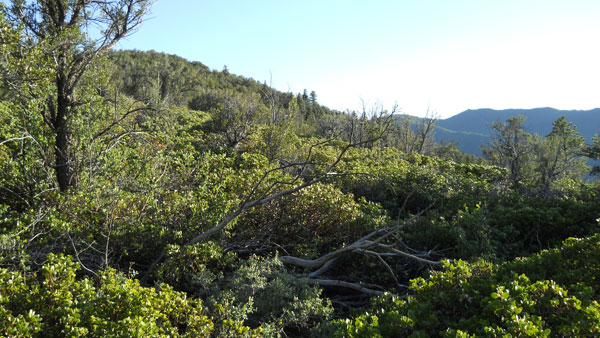
^Montane chaparral with mountain mahogany and manzanita (Arctostaphylos sp.).
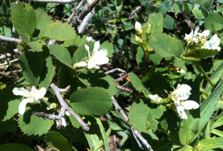
^Serviceberry (Amelanchier alnifolia) shrub blooming.
^Small creek in Parsnip Peak Wilderness.
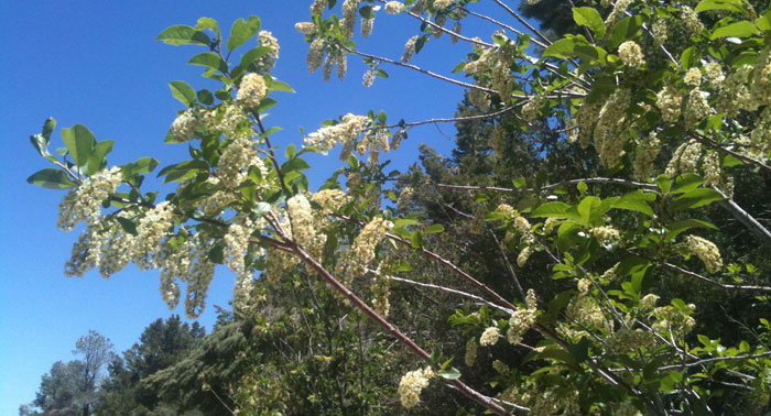
^Chokecherry blossoms.
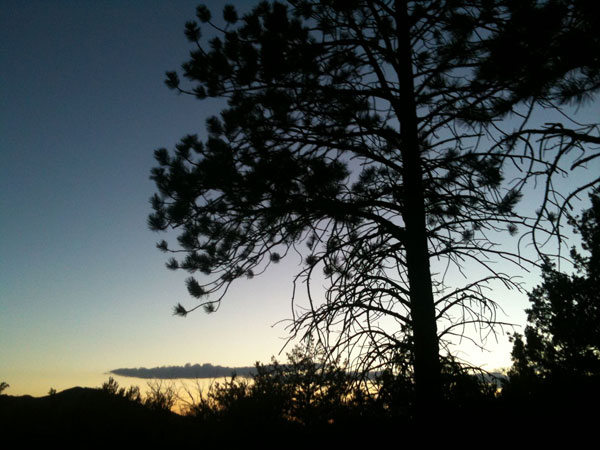
^A Ponderosa pine at dusk.
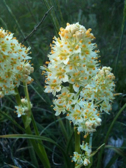
^Zygadene (Zygadenus sp.) in tender meadows scattered throughout moist sites along Mt. Wilson Back Country Byway.
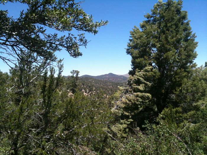
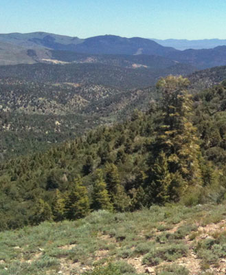
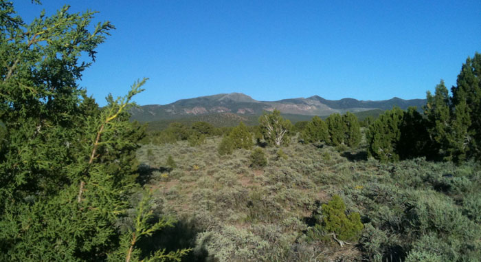
^Looking towards White Rock Mountain from Mt. Wilson Back Country Byway.
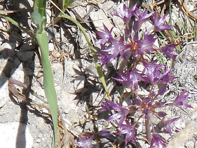
^Wild onion (Allium accuminatum).
^Silvery Townsendia (Townsendia incana).
^Forest of Mountain mahogany and White fir (Abies concolor), Parsnip Peak Wilderness.
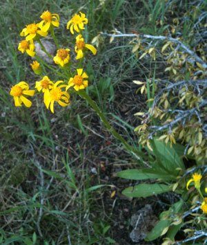
^Groundsel (Senecio sp.) in small meadows.
^White firs in a ravine below the ridge in Parsnip Peak Wilderness adjacent to the proposed wind project.
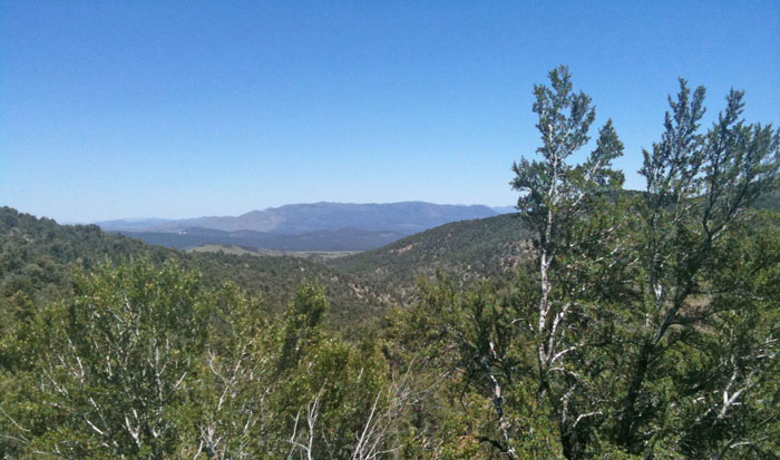
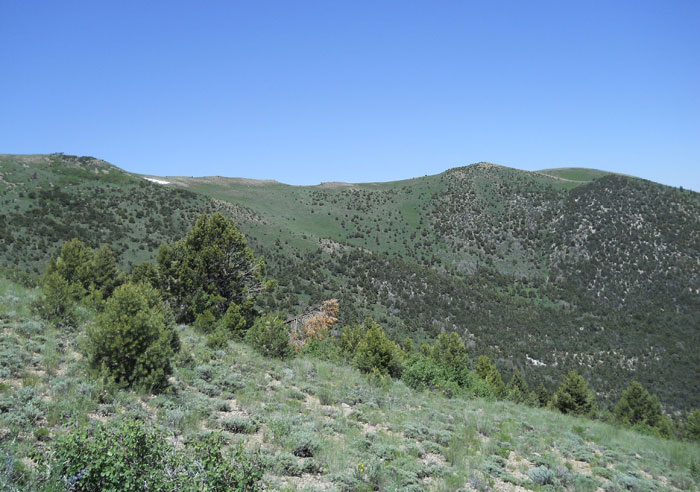
^White fir in Parsnip Peak Wilderness, looking north towards Table Mountain, where turbines would be visible.
Recreation
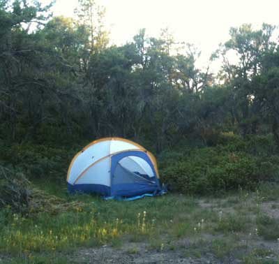
^Camping in Wilson Creek Range.
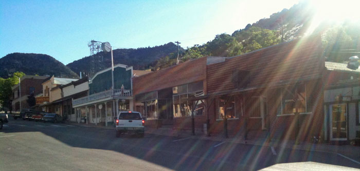
^The town of Pioche, Nevada, near Wilson Creek Range.
Views
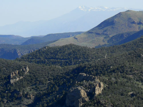
^Snowy Wheeler Peak in Great Basin National Park is visible from the northern Wilson Creek Range, at the site of the proposed wind project.
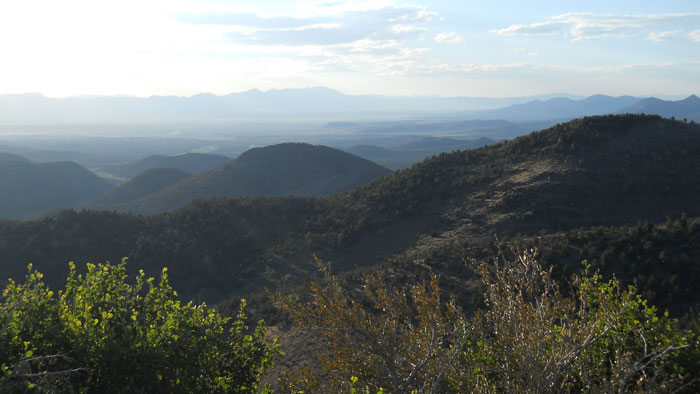
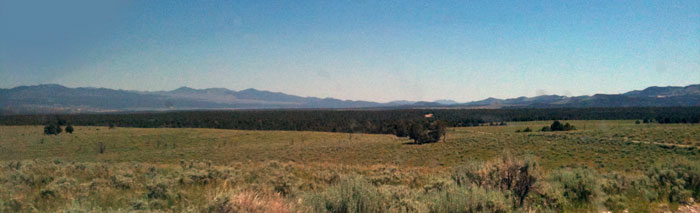
^View up Lake Valley at sunset from Mt. Wilson Back Country Byway.
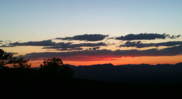
^Sunset from Mt. Wilson Back Country Byway.
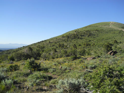
^Mt. Wilson.
^Wind Turbine Generators near Palm Springs, California.
^Along Cabin Valley Road.
^The view of Table Mountain, part of the huge wind project proposal, as seen from Atlanta Road.
^Wind project construction ongoing in the Tehachapi Mountains.
Roads will Damage Habitat
^Small dirt road to Mt. Wilson. This road would need to be widened, as part of Phase 1 of the proposed Wilson Creek Wind Project.
^Mt. Wilson Back Country Byway, also part of Phase 1, site of proposed turbines.
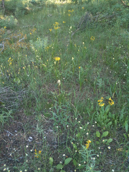
^Moist meadow along the Byway on the Wilson Creek Range.
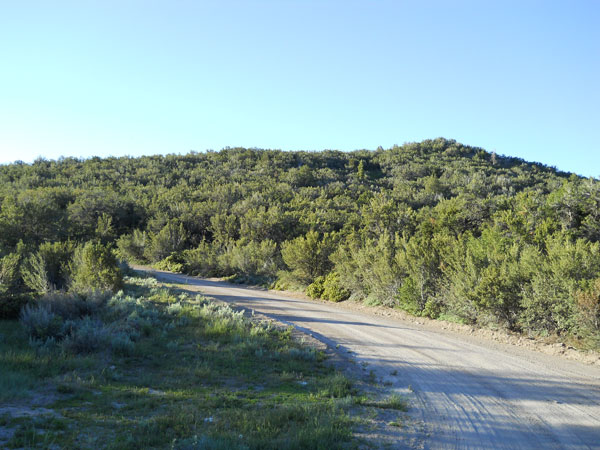
^Mt. Wilson Back Country Byway.
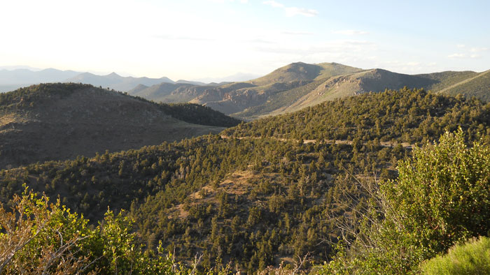
^Views along Mt. Wilson Back Country Byway.
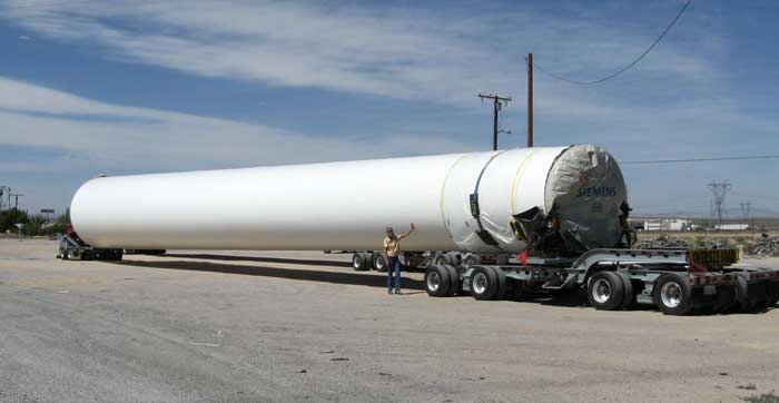
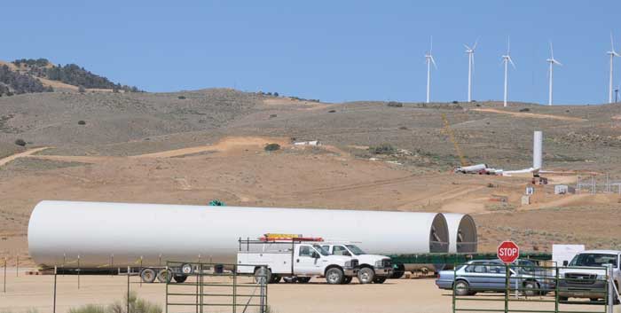
^Section of a tower on an over-sized truck.
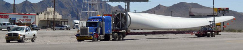
^A single turbine blade needs one over-sized truck to transport it.
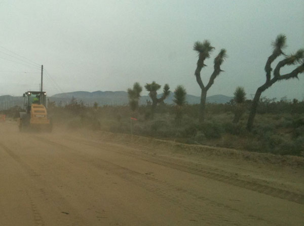
^Wind project access road under construction in California.
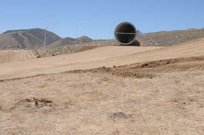
^Tower section on graded access road and pad
Bird List
June 23-24, 2011 - Wilson Creek Range, Lincoln County, northeast of Pioche. Wilson Creek drainage along Wilson Creek Back Country Byway, to northern end of Parsnip Peak Wilderness. Sagrebrush-steppe, Pinyon-juniper woodland, some white for and small ponderosa, montane chaparral, to alpine grassland.
- Prairie falcon
- Golden eagle
- Turkey vulture
- Common nighthawk
- Broad-tailed hummingbird
- Hairy woodpecker
- Western scrub jay
- Steller's jay
- Common raven
- Spotted towhee - singing in montane chaparral.
- Mountain chickadee
- Rock wren
- Cassin's finch - singing in forest.
- Red crossbill
- Hermit thrush - singing in montane chapparal and forest.
- Mountain bluebird
- Virginia's warbler - singing in lush brushy ravines with chokecherry.
- Orange-corwned warbler - singing in chokecherry and willow riparian.
- MacGillivray's warbler - singing in moist montane chaparral.
- Black-throated gray warbler - singing in pinyon-juniper woodland.
- Warbling vireo - singing in canyon with creek and chokecherry.
- Plumbeous vireo - singing in canyon.
- Black-headed grosbeak - singing in lower riparian canyons.
- Lazuli bunting - several males singing in aspen, juniper, chokecherry thickets at 7,000 feet elevation.
- Western tanager - singing.
- Pine siskin
- Chipping sparrow - singing.
- Dark-eyed junco - singing.
- Lark sparrow -singing.